Stake attention in this memory
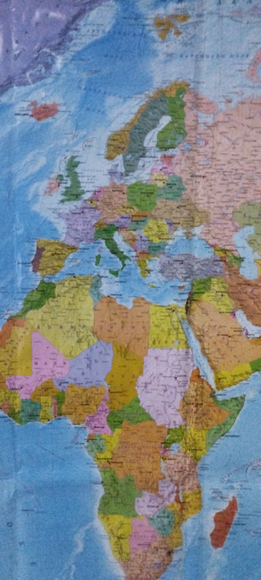
This is a close-up, slightly blurry photograph of a world map, predominantly displaying Europe and Africa. The map uses distinct colors to differentiate countries, with borders clearly marked. Names of countries and cities are visible in a Latin alphabet, though some are difficult to read due to the image quality. In Europe, Spain and Portugal are visible in the southwest, colored yellow and brown respectively. France is a large purple area to their north. The United Kingdom is shown as an island nation to the northwest of France. Italy is a distinct boot-shaped peninsula in southern Europe, colored green. Scandinavia, including Norway and Sweden, is a long green and yellow peninsula in the north. Africa is the primary focus in the southern half of the image. North Africa shows countries like Algeria (large orange), Libya (tan), and Egypt (yellow). West Africa includes Mali (pink) and Niger (orange). Central Africa shows the Democratic Republic of Congo (pink). East Africa displays Sudan (pink), Ethiopia (yellow), and Somalia (orange). Madagascar, a large island, is colored orange off the southeastern coast of Africa. The ocean surrounding the continents is depicted in various shades of blue. There are no people, objects, or actions depicted in the image; it is solely a map. The environment is a flat surface, likely a wall or a table, where the map is displayed. The lighting appears to be ambient, with no strong shadows.
No transactions found