Sign in
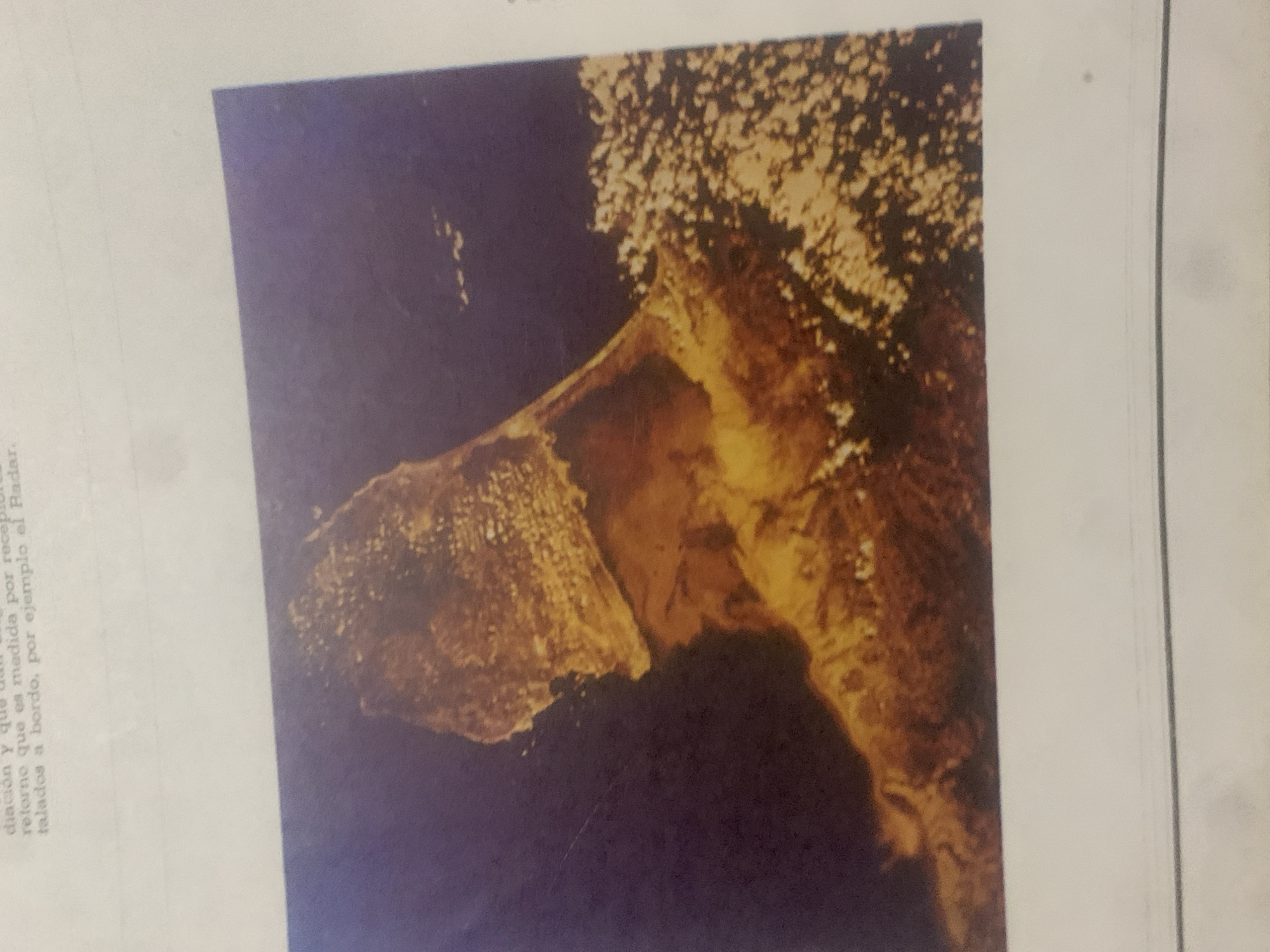
This media file is an image of a satellite view of a landmass surrounded by dark blue water. The landmass appears to be an island or peninsula with a rugged, textured surface, possibly indicating vegetation or rock formations. The colors are predominantly earthy tones of brown and yellow on the land, contrasted with the deep blue of the ocean. A bright, speckled area sits atop a portion of the landmass, suggesting dense foliage or cloud cover. The image has a slightly grainy texture and the colors are somewhat muted, typical of older satellite imagery or a photograph of a printed image.

To the left of the image, partially obscured by the main subject, is a block of text. The visible portion of the text is in Spanish and discusses "diación y qu retorno que es medida por recep talados a bordo, por ejemplo el Radar." This suggests the image might be related to a scientific or technical context, possibly involving navigation, remote sensing, or data measurement.

There are no people, animals, or specific structures like buildings visible in the main image. The scene is natural and aerial. The time of day and weather are not discernible from the image itself, though the lighting suggests a clear view from space. The location context provided, "La Tagua, Venezuela," hints at the geographical area being depicted, though specific landmarks are not identifiable without further information. The overall impression is one of a remote, natural landscape viewed from a high vantage point.
bombolico

Jun 25, 2026, 2:11 PM

La Tagua, Venezuela

Moment

Stake attention in this memory

awe
mystery
vastness
isolation
wonder

This media file is an image of a satellite view of a landmass surrounded by dark blue water. The landmass appears to be an island or peninsula with a rugged, textured surface, possibly indicating vegetation or rock formations. The colors are predominantly earthy tones of brown and yellow on the land, contrasted with the deep blue of the ocean. A bright, speckled area sits atop a portion of the landmass, suggesting dense foliage or cloud cover. The image has a slightly grainy texture and the colors are somewhat muted, typical of older satellite imagery or a photograph of a printed image. To the left of the image, partially obscured by the main subject, is a block of text. The visible portion of the text is in Spanish and discusses "diación y qu retorno que es medida por recep talados a bordo, por ejemplo el Radar." This suggests the image might be related to a scientific or technical context, possibly involving navigation, remote sensing, or data measurement. There are no people, animals, or specific structures like buildings visible in the main image. The scene is natural and aerial. The time of day and weather are not discernible from the image itself, though the lighting suggests a clear view from space. The location context provided, "La Tagua, Venezuela," hints at the geographical area being depicted, though specific landmarks are not identifiable without further information. The overall impression is one of a remote, natural landscape viewed from a high vantage point.

Symbol

49360

Volume

0

Creator

+$0.00

Revenue

+$0.00

TVL

$0.00

1D
1W
1M
All

Loading AttnAds…

transactions
revenues
stakers
Earliest
Latest
Highest stake

1

Katy

Staked 12d ago
Redeemed 5d ago

$0.06 USD

+$0.00 USD

Fee: $0.00 (0.25%)

+0.7%

2

Rev Bot 🤖💰

Injected revenue 12d ago

Revenue bonus for the last stake.

+$0.00 USD

More from this user

More from La Tagua

bombolico

Jun 25, 2026, 2:11 PM

La Tagua, Venezuela

Licensed under Creative Commons Attribution 4.0 International License. You are free to share and adapt this content with proper attribution.





