Stake attention in this memory
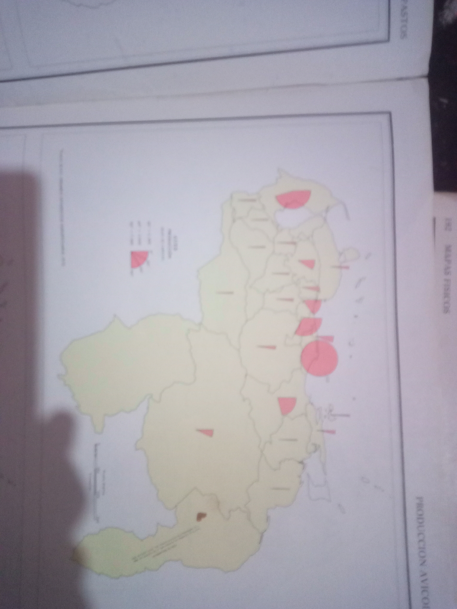
The image is a map of Venezuela, divided into states, with some states highlighted in red. There are also pie charts and bar charts superimposed on the map, indicating some form of statistical data. The map is oriented such that the top of the image corresponds to the north of Venezuela. A legend or key for the colored regions and charts is visible on the left side of the map, though the text is too blurry to read. On the right side of the image, vertical text reads "PRODUCCION AVICOLA" and "MAPAS FISICOS", suggesting the map pertains to poultry production and physical maps. There are no people or discernible actions depicted in the image. The environment is a flat surface, likely a table or desk, with a book or binder open to the page with the map. There are shadows cast on the map, indicating the presence of light sources, but these are not detailed enough to identify. There is no information about the city of Santa Ana, Venezuela, or any specific locations within it present in the image.
Symbol
49D8E
Volume
11,550
Creator
+$0.02
Revenue
+$0.03
TVL
$2.18
Loading AttnAds…

2

Rev Bot 🤖💰
Injected revenue 3mo ago
“Revenue bonus for the last stake.”
+$0.03 USD