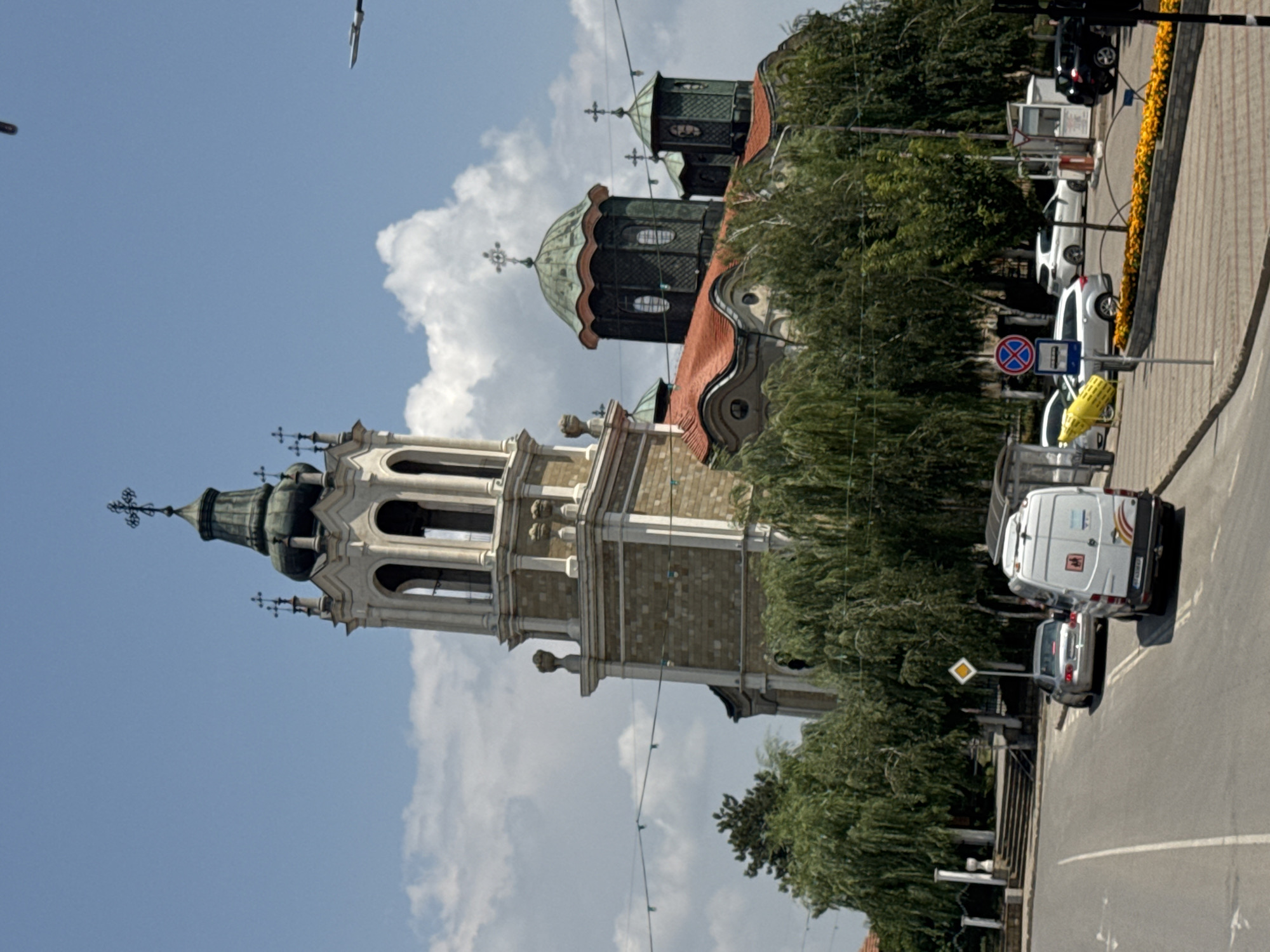
Stake attention in this memory
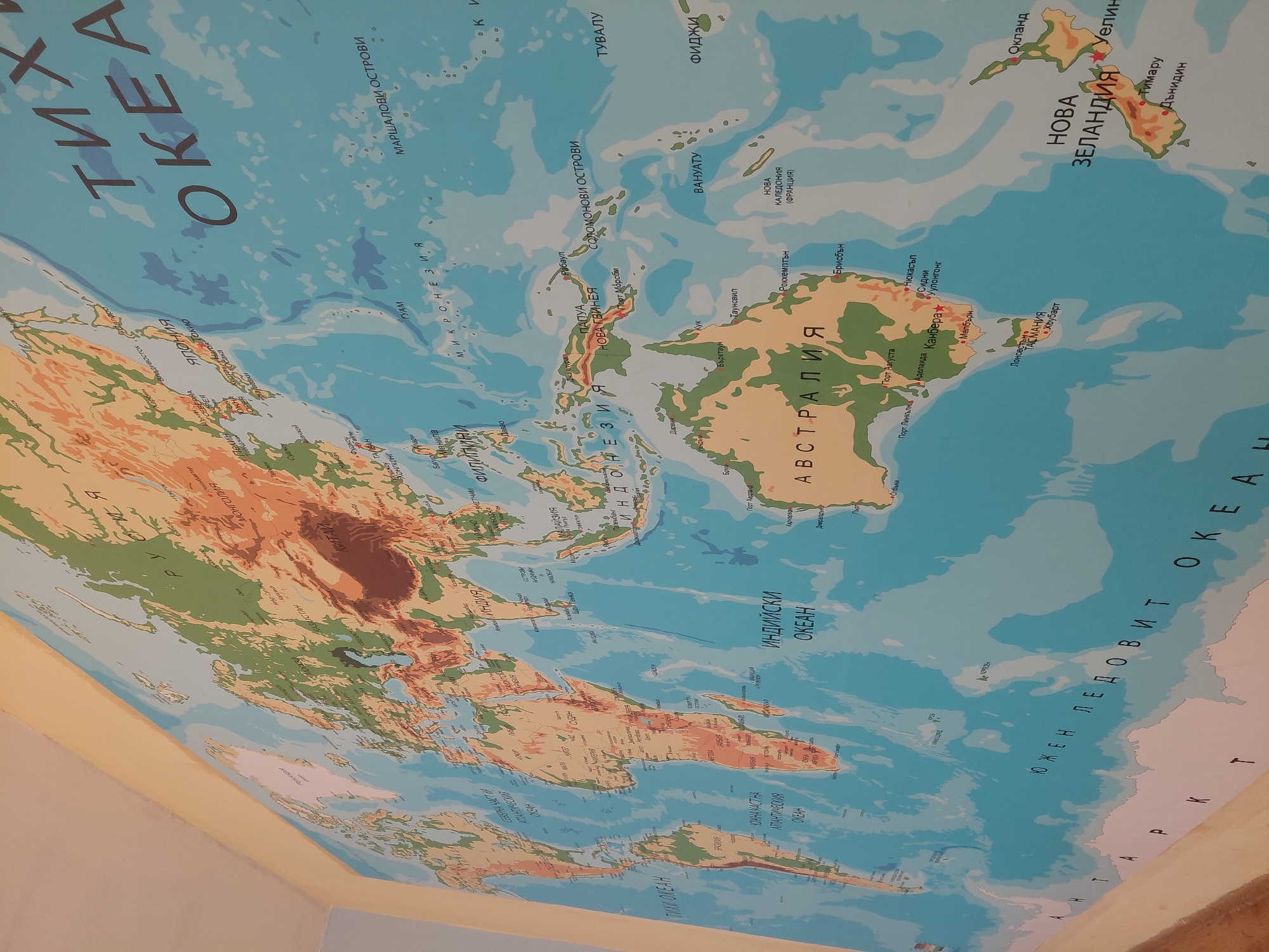
The image displays a large, detailed world map affixed to a wall, possibly extending onto the ceiling, in an indoor setting. The map combines physical and political features, using varying shades of green and brown to denote land elevation and blue for oceans. The perspective is from a low angle, looking upwards, causing a slight distortion of the map's projection. The map prominently features Oceania, including Australia, New Zealand, Papua New Guinea, and numerous Pacific island nations and territories such as Vanuatu, Fiji, Tuvalu, Micronesia, Marshall Islands, and the Solomon Islands. Portions of Asia, including Japan, China, India, Indonesia, and the Philippines, are also clearly visible. The vast Pacific Ocean dominates the top and central areas, while the Indian Ocean and parts of the Southern Ocean (Антарктически океан) are shown towards the bottom and right. All geographical names and labels on the map are written in Bulgarian (Cyrillic script). Notable visible text includes "ТИХИ ОКЕАН" (Pacific Ocean), "АВСТРАЛИЯ" (Australia), "НОВА ЗЕЛАНДИЯ" (New Zealand), "ИНДИЙСКИ ОКЕАН" (Indian Ocean), and "ЮЖЕН ЛЕДОВИТ ОКЕАН" (Southern Ocean). Major cities like Canberra, Sydney, Melbourne (Australia), Auckland, and Wellington (New Zealand) are marked. No people or specific activities are depicted. The map appears to be a permanent fixture, possibly in a classroom or an educational environment, in Svishtov, Bulgaria. The wall where the map is placed is light yellow, meeting a light blue wall in the corner of the room.
Symbol
49E28
Volume
2,328
Creator
+$0.00
Revenue
+$0.00
TVL
$0.44