Stake attention in this memory
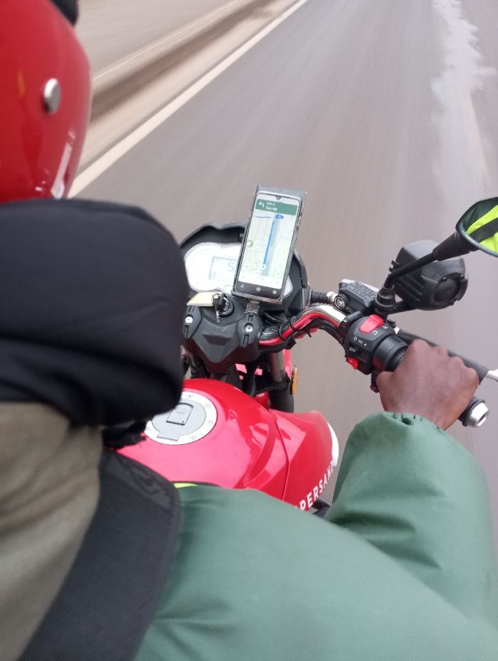
This media file captures a first-person perspective from a motorcycle in motion, likely in Ruiru, Kenya, as indicated by the location context. The primary subject is a person, seen from the waist up and over the shoulder, riding a red motorcycle. The rider is wearing a red helmet, a dark long-sleeved top, and a green, possibly waterproof, garment that covers their torso and legs. Their right hand is visible, gripping the motorcycle's handlebar and throttle. The motorcycle itself is red, with its fuel tank and a portion of the instrument cluster visible. A prominent feature is a smartphone mounted on the handlebars, secured in a holder. The phone's screen displays a navigation application, presumably Google Maps, showing a route with a blue line indicating the current path and an arrow representing the user's position. The navigation provides instructions like "300 m" and "Turn left," with "Tigoni Rd" visible as part of a street name. The estimated time remaining is "21 min," and the current time is displayed as "17:44." The background is heavily blurred due to motion, indicating that the motorcycle is traveling at a significant speed on what appears to be a paved road or highway with lane markings. The lighting suggests it is daytime, possibly overcast, given the diffused light and lack of strong shadows. Visible text includes the navigation information on the phone screen: "300 m", "Turn left", "Tigoni Rd", "21 min", and "17:44". On the side of the motorcycle's red fuel tank, the partial brand name "PERSAN" is visible, likely part of "SUPERSAN," a common motorcycle brand in the region.
No transactions found