Sign in
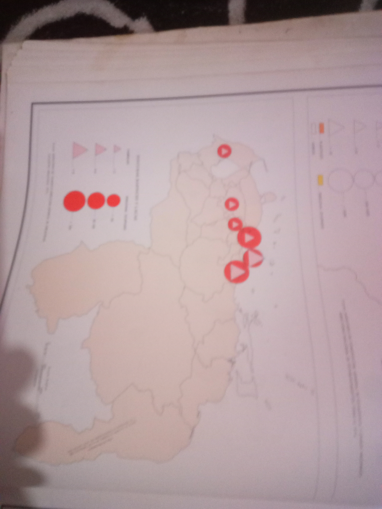
This image is a zoomed-in, slightly blurry photograph of a map. The map appears to be of Venezuela, with internal borders indicating states or regions. Scattered across the map are several red circles and red triangles, varying in size. These symbols likely represent data points or locations of interest.

To the left of the map, there is a legend with red triangles and circles of different sizes, indicating a scale or categorization for the symbols on the map. To the right, there are other colored symbols, including orange and yellow rectangles and circles, also likely part of a legend.

The map is printed on paper, and the image shows a portion of a larger document or book. There are shadows and light reflections on the paper, suggesting it was photographed under artificial light.

The question asks for the location in the city of Santa Ana, Venezuela. However, the provided image is a map of Venezuela, not of a specific city. Without further information or a more detailed map of Santa Ana, it is impossible to identify any specific location within that city from this image. The symbols on the map are not detailed enough to pinpoint a specific urban area within a state, let alone a city.
Alberto Rodríguez

Jun 10, 2026, 6:53 AM

Santa Ana, Venezuela

Short Term

Stake attention in this memory

informative
analytical
focused
detailed
neutral

This image is a zoomed-in, slightly blurry photograph of a map. The map appears to be of Venezuela, with internal borders indicating states or regions. Scattered across the map are several red circles and red triangles, varying in size. These symbols likely represent data points or locations of interest. To the left of the map, there is a legend with red triangles and circles of different sizes, indicating a scale or categorization for the symbols on the map. To the right, there are other colored symbols, including orange and yellow rectangles and circles, also likely part of a legend. The map is printed on paper, and the image shows a portion of a larger document or book. There are shadows and light reflections on the paper, suggesting it was photographed under artificial light. The question asks for the location in the city of Santa Ana, Venezuela. However, the provided image is a map of Venezuela, not of a specific city. Without further information or a more detailed map of Santa Ana, it is impossible to identify any specific location within that city from this image. The symbols on the map are not detailed enough to pinpoint a specific urban area within a state, let alone a city.

Symbol

4B6A6

Volume

11,550

Creator

+$0.03

Revenue

+$0.05

TVL

$2.91

1D
1W
1M
All

Loading AttnAds…

transactions
revenues
stakers
Earliest
Latest
Highest stake

1

yoko

Staked 1mo ago

$2.89 USD

+$0.03 USD

+0.9%

2

Rev Bot 🤖💰

Injected revenue 1mo ago

Revenue bonus for the last stake.

+$0.06 USD

More from this user

More from Santa Ana

Alberto Rodríguez

Jun 10, 2026, 6:53 AM

Santa Ana, Venezuela

Licensed under Creative Commons Attribution 4.0 International License. You are free to share and adapt this content with proper attribution.