Stake attention in this memory
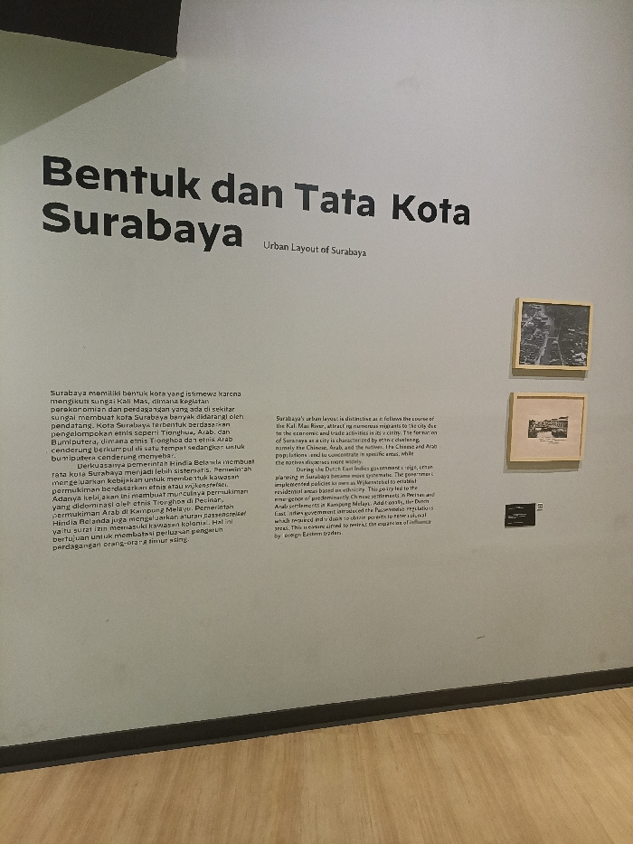
A museum exhibit wall, titled "Bentuk dan Tata Kota Surabaya" and "Urban Layout of Surabaya" in Indonesian and English, respectively, is located at the coordinates -7.246 latitude and 112.737 longitude in the city of Surabaya, Indonesia. The exhibit showcases a panel with text in Indonesian, describing the layout of Surabaya city and the historical and geographical factors that influenced it. The text highlights the importance of the Kali Mas River, the presence of diverse ethnicities, including Chinese, Arab, and Javanese, and the role of the Dutch East Indies government in shaping the urban layout during the colonial era. The panel is accompanied by three framed black and white photographs that depict various aspects of Surabaya's cityscape, showing the city's streets, buildings, and river. There is a small, square, black sticker on the lower-right corner of the bottom photo. The museum floor is made of light brown wood. There is no one present in the image.
Loading AttnAds…
No transactions found