Stake attention in this memory
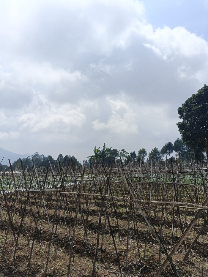
The image displays an agricultural field in Mong Pun Teing, Myanmar, under a partly cloudy sky. The foreground and midground are characterized by an extensive trellis system constructed from numerous slender, dark brown wooden poles and stakes. These poles are arranged vertically, diagonally, and horizontally, forming a grid-like support structure over cultivated, predominantly bare earth with minimal sparse vegetation. In the mid-distance, a dense line of various green trees, including several conifer-like trees and a prominent banana plant, spans horizontally. The background features distant, hazy mountains or hills covered in green foliage. The sky overhead shows a mix of white and gray cumulus clouds with patches of lighter sky. No individuals, animals, or active subjects are visible.
Loading AttnAds…
No transactions found