Stake attention in this memory
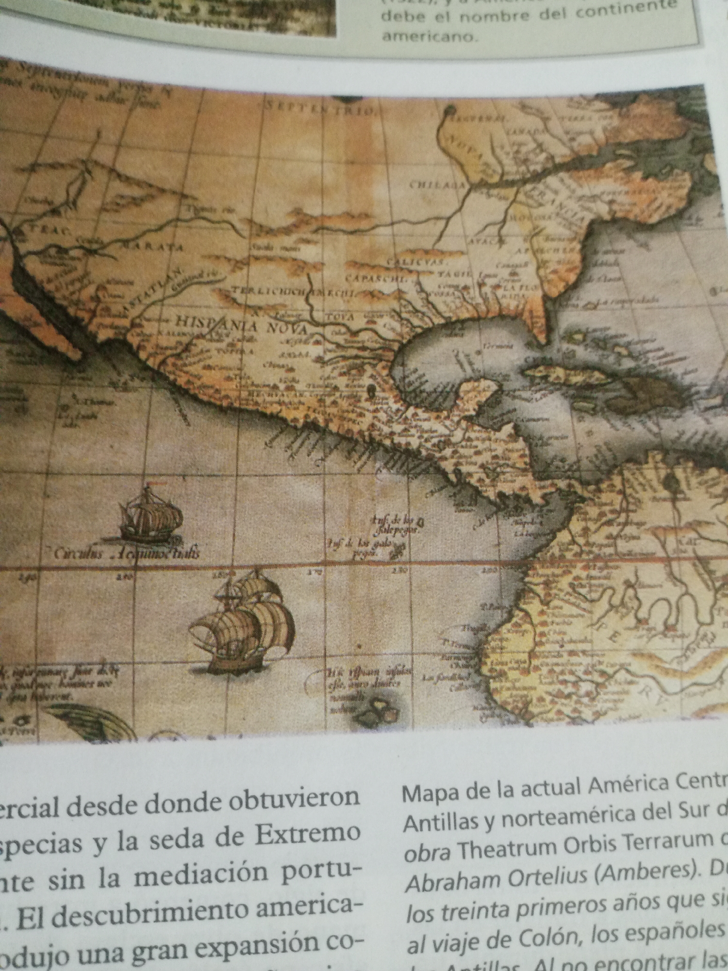
The image is a close-up of a page from a book featuring an old map of the Americas. The map is sepia-toned and depicts North and Central America, including what appears to be Mexico and the Caribbean islands. The map is detailed with geographical features like coastlines, rivers, and mountains, as well as stylized illustrations of sailing ships. It also features place names written in a historical script, such as "HISPANIA NOVA," "TEAC," "TARATA," and "CALICYAS." Below the map, there is text in Spanish. Part of the text reads: "debe el nombre del continente americano." and "ercial desde donde obtuvieron especias y la seda de Extremo nte sin la mediación portu-. El descubrimiento america- odujo una gran expansión co- Mapa de la actual América Centr Antillas y norteamérica del Sur d obra Theatrum Orbis Terrarum c Abraham Ortelius (Amberes). D los treinta primeros años que si al viaje de Colón, los españoles Antillas Alno encontrar las". This text appears to be a description of the map, discussing the Americas, trade, and historical discoveries, possibly referencing Abraham Ortelius, a renowned cartographer. The overall impression is a historical document, likely from an educational text, showcasing cartography and the early European exploration of the Americas. The lighting suggests it is an indoor setting, possibly a library or study. There are no people or specific activities directly depicted on the map itself, but the ships suggest maritime exploration.
Symbol
4E6D8
Volume
11,550
Creator
+$0.11
Revenue
+$0.22
TVL
$8.54
2
Rev Bot 🤖💰
Injected revenue 5d ago
“Revenue bonus for the last stake.”
+$0.24 USD