Stake attention in this memory
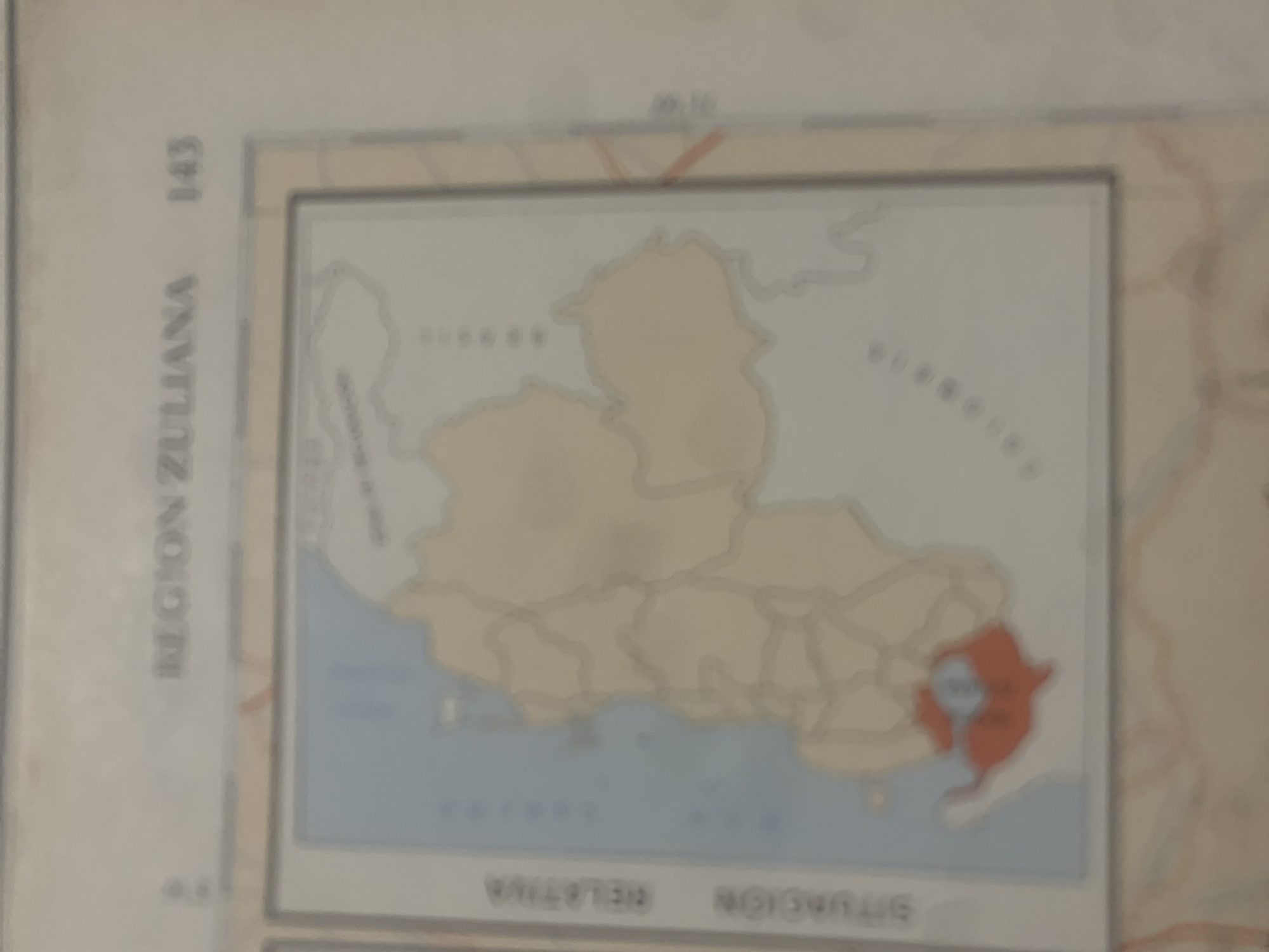
This is a photograph of a map, likely from a publication, depicting a geographical region. The map shows an outline of a landmass bordered by water on its lower side. The landmass is further divided by internal lines, suggesting political or administrative boundaries. A specific area within the landmass is highlighted in red, indicating a point of interest or a particular zone. Visible text on the map includes "REGION ZULIANA" written vertically along the left edge, and the number "143" above it. At the top center of the map, there is text that appears to be "00.10", possibly a map reference or scale indicator. Along the bottom edge of the map, there is text that appears to be written in reverse, reading "SITUACION RELATIVA". The map itself is the primary subject. The scene is static, as it is a depiction of a geographical area rather than a live event. There are no visible people, and the weather or time of day are not applicable as it is a map. The map details the "REGION ZULIANA", a state in northwestern Venezuela. The highlighted red area could represent a specific city, municipality, or geological feature within this region. The map's context suggests it is part of a larger atlas or geographical study. The overall impression is one of cartographic information being presented.
Symbol
4EB62
Volume
0
Creator
+$0.03
Revenue
+$0.00
TVL
$0.00
Loading AttnAds…

2

Rev Bot 🤖💰
Injected revenue 2mo ago
“Revenue bonus for the last stake.”
+$0.06 USD





