Sign in
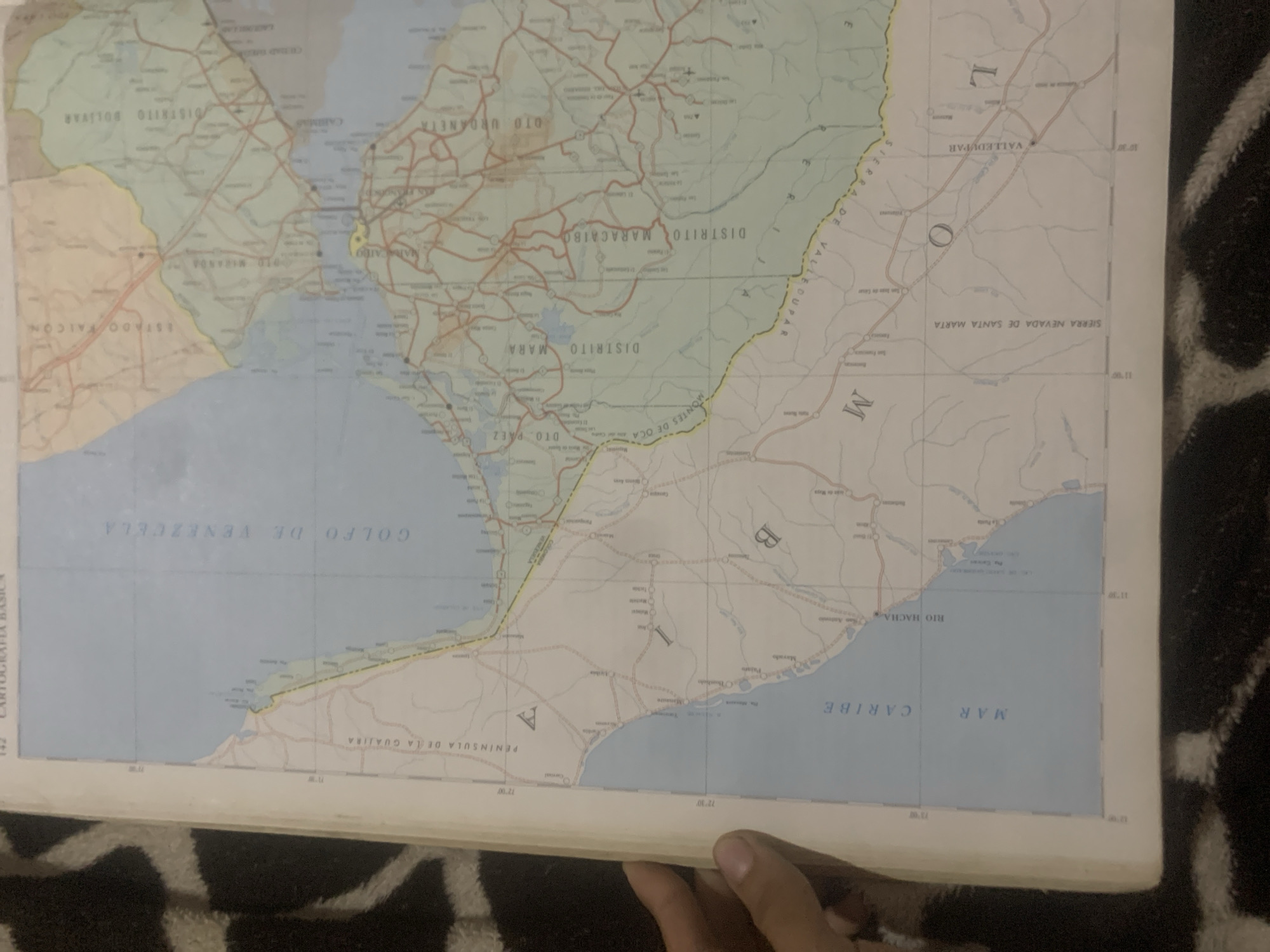
This is a photograph of a map, likely from a geographic atlas or a wall map. The map depicts a coastal region with bodies of water, landmasses, and topographical features. Prominently displayed are geographical names such as "GOLFO DE VENEZUELA," "MAR CARIBE," "PENINSULA DE LA GUAJIRA," and "SIERRA NEVADA DE SANTA MARTA." Various districts and states are also labeled, including "DISTRITO BOLIVAR," "DISTRITO MARACAIBO," "DISTRITO MARA," and "ESTADO FALCON." Road networks and settlements are indicated by lines and dots, respectively. There are also grid lines with numerical coordinates, suggesting a cartographic representation of a specific area.

The photograph captures a portion of the map, with the lower right corner showing a hand reaching into the frame. The map itself appears somewhat aged or worn, with creasing visible. The background behind the map is a dark, textured fabric, possibly a blanket or rug. The lighting suggests an indoor environment. The text on the map is in Spanish and provides detailed geographical information about the depicted region. No specific activity or event is taking place, other than the presentation of the map itself. The location context provided is "La Tagua, Venezuela," which might be a place represented on the map or where the map is located.
bombolico

Jun 25, 2026, 2:47 PM

La Tagua, Venezuela

BLOCKED

Stake attention in this memory

nostalgia
curiosity
contemplation
serenity
melancholy

This is a photograph of a map, likely from a geographic atlas or a wall map. The map depicts a coastal region with bodies of water, landmasses, and topographical features. Prominently displayed are geographical names such as "GOLFO DE VENEZUELA," "MAR CARIBE," "PENINSULA DE LA GUAJIRA," and "SIERRA NEVADA DE SANTA MARTA." Various districts and states are also labeled, including "DISTRITO BOLIVAR," "DISTRITO MARACAIBO," "DISTRITO MARA," and "ESTADO FALCON." Road networks and settlements are indicated by lines and dots, respectively. There are also grid lines with numerical coordinates, suggesting a cartographic representation of a specific area. The photograph captures a portion of the map, with the lower right corner showing a hand reaching into the frame. The map itself appears somewhat aged or worn, with creasing visible. The background behind the map is a dark, textured fabric, possibly a blanket or rug. The lighting suggests an indoor environment. The text on the map is in Spanish and provides detailed geographical information about the depicted region. No specific activity or event is taking place, other than the presentation of the map itself. The location context provided is "La Tagua, Venezuela," which might be a place represented on the map or where the map is located.

Symbol

50300

Volume

0

Creator

+$0.09

Revenue

+$0.00

TVL

$0.00

1D
1W
1M
All
transactions
revenues
stakers
Earliest
Latest
Highest stake

1

Ramón

Staked 9d ago
Redeemed 8d ago

$7.34 USD

+$0.02 USD

Fee: $0.07 (1%)

+0.3%

2

Rev Bot 🤖💰

Injected revenue 9d ago

Revenue bonus for the last stake.

+$0.19 USD

More from this user

More from La Tagua

bombolico

Jun 25, 2026, 2:47 PM

La Tagua, Venezuela

Licensed under Creative Commons Attribution 4.0 International License. You are free to share and adapt this content with proper attribution.





