Stake attention in this memory
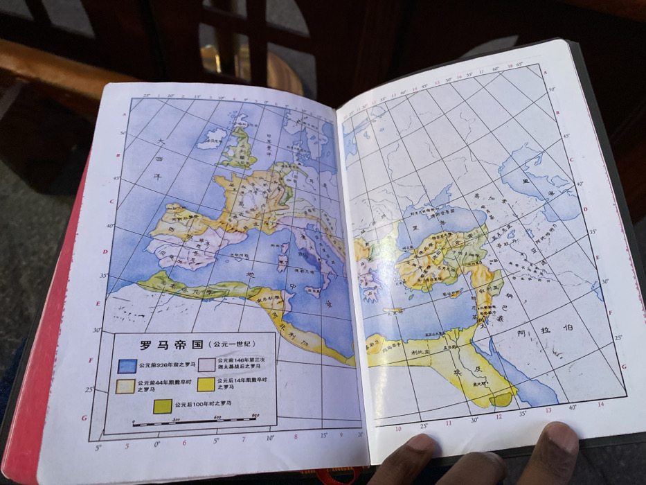
In an indoor setting in Guang Zhou Shi, China, a person with dark-skinned hands holds open a book or atlas, revealing a colorful historical map spread across two pages. The map, titled "罗马帝国 (公元一世纪)" (Roman Empire, 1st Century AD), illustrates the territorial expansion of the Roman Empire around the Mediterranean Sea, encompassing parts of Europe, North Africa, and the Middle East. The map features a legend detailing the empire's boundaries at different historical junctures: dark blue for territory before 320 BC, light blue for after the Third Punic War in 140 BC, purple for when Caesar died in 44 BC, yellow for when Caesar died in 14 AD, and green for 100 AD. Key geographical labels visible on the map include "大西洋" (Atlantic Ocean), "地中海" (Mediterranean Sea), "阿拉伯" (Arabia), "埃及" (Egypt), "利比" (Libya), and "纳巴泰" (Nabataea). Latitude and longitude lines form a grid across the map. The person's right hand gently rests on the bottom right page. The book has a red spine or edge. The background is blurred, showing dark wooden furniture. The scene implies a moment of study or interest in ancient history.
Loading AttnAds…
No transactions found