
Sign in
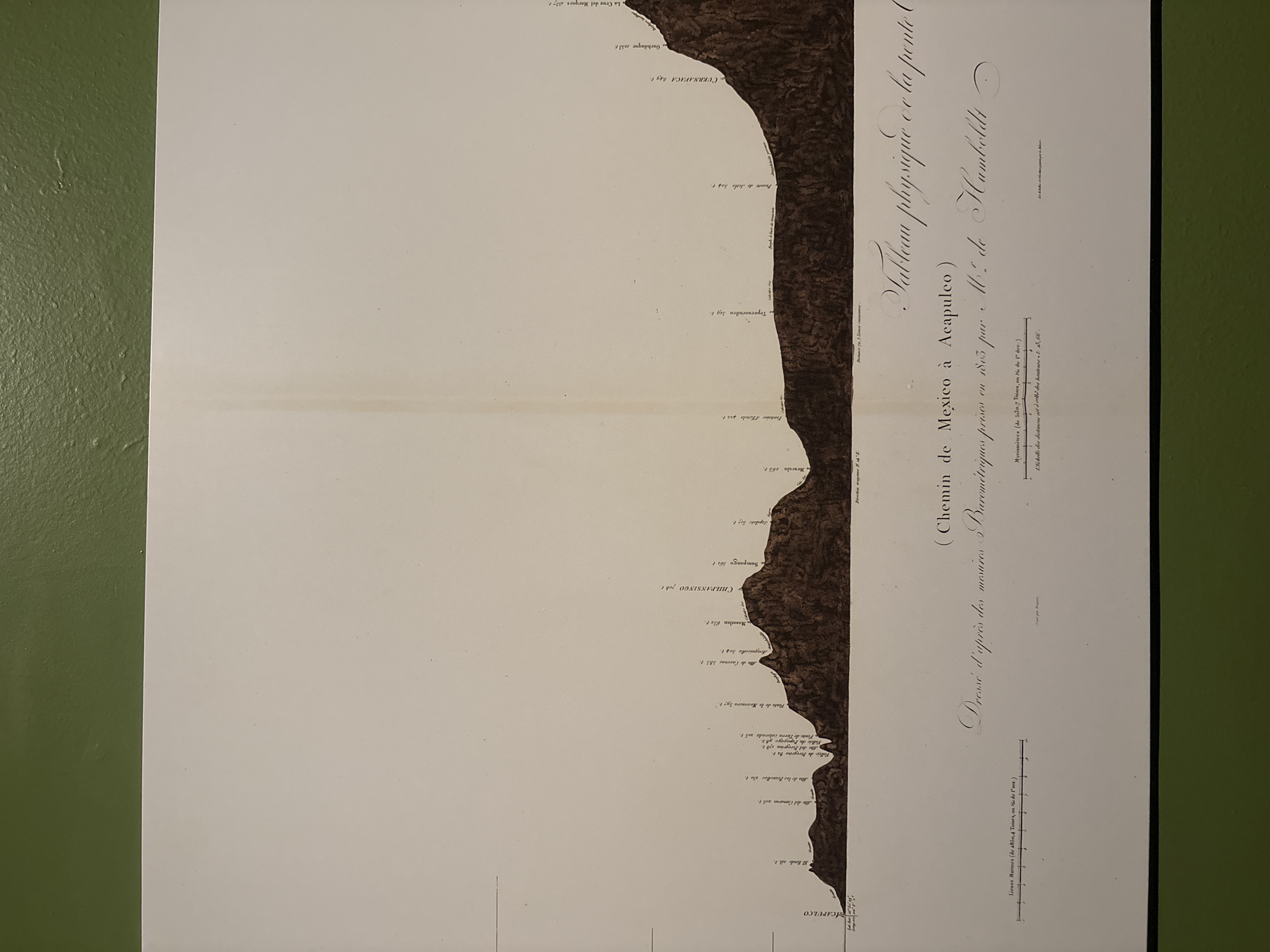
The image shows a vintage map titled "Tableau physique et la ponte" "(Chemin de Mexico a Acapulco) Dressé d'apres des mesures Baremetriques prises en 1803 par 110. de Humboldt". The map depicts a topographical profile of the route from Mexico City to Acapulco, Mexico, detailing varying elevations and locations along the way. The map includes labels and height measurements for various points like Chilpancingo, Cuernavaca, and Acapulco. The map features a horizontal scale with units of Lieues Marines and Myriamètres.
Tamara

Apr 3, 2026, 6:29 PM

Mexico City, Mexico

Stake attention in this memory

untagged

The image shows a vintage map titled "Tableau physique et la ponte" "(Chemin de Mexico a Acapulco) Dressé d'apres des mesures Baremetriques prises en 1803 par 110. de Humboldt". The map depicts a topographical profile of the route from Mexico City to Acapulco, Mexico, detailing varying elevations and locations along the way. The map includes labels and height measurements for various points like Chilpancingo, Cuernavaca, and Acapulco. The map features a horizontal scale with units of Lieues Marines and Myriamètres.

Loading AttnAds…

transactions
revenues
stakers
Earliest
Latest
Highest stake

No transactions found

More from this user

More from Mexico City

Tamara

Apr 3, 2026, 6:29 PM

Mexico City, Mexico

Licensed under Creative Commons Attribution 4.0 International License. You are free to share and adapt this content with proper attribution.