Stake attention in this memory
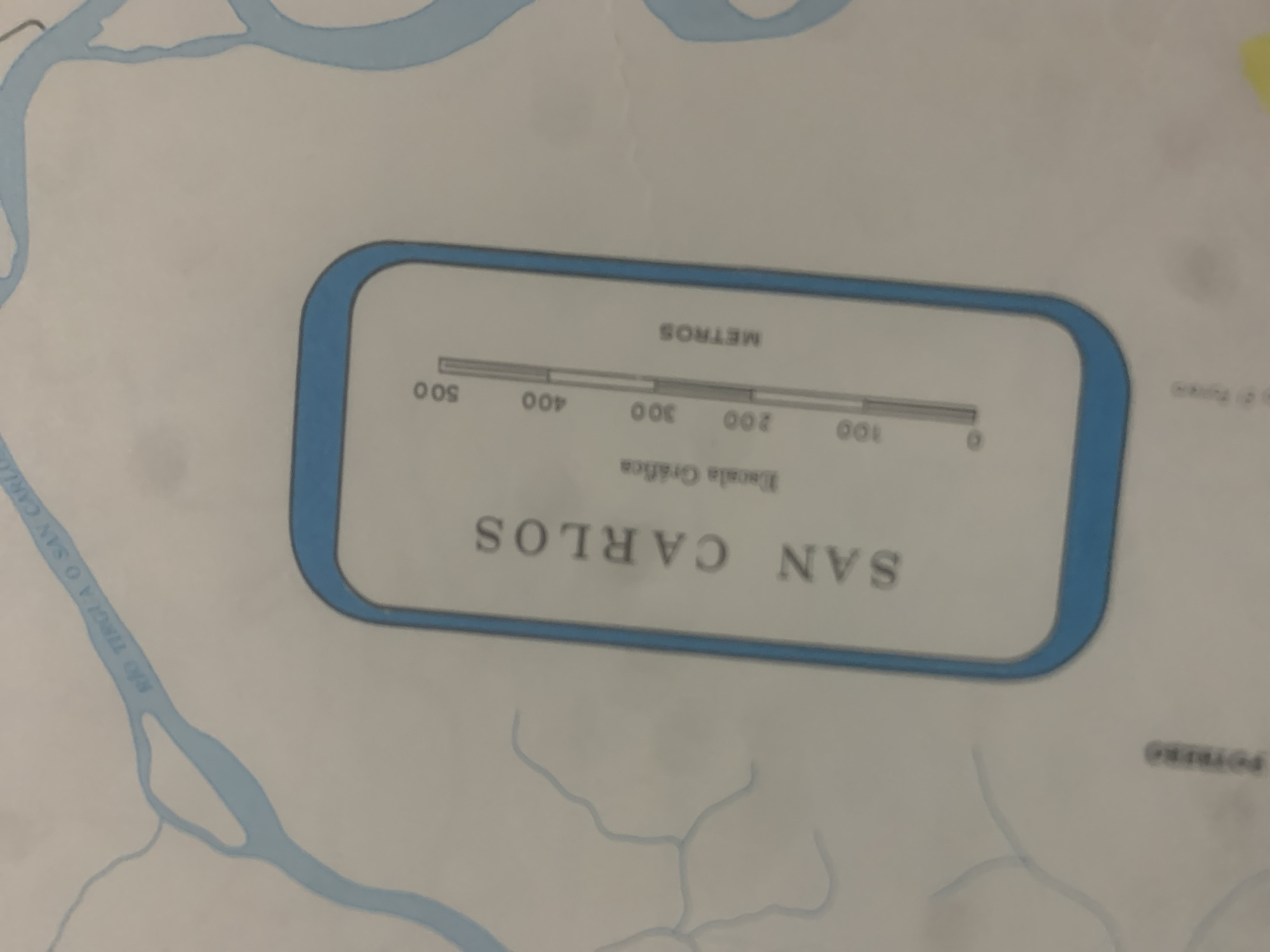
This is a close-up, slightly angled photograph of a map. The map depicts waterways and appears to be a geographical representation of an area named "SAN CARLOS". A prominent feature is a scale bar labeled "METROS" with markings from 0 to 500. The text "Escala Gráfica" is also visible near the scale bar. To the left of the scale, a river is labeled "RÃO TIRGUA O SAN CARLO". In the bottom right corner, a label reads "POTREBO". The overall color palette is dominated by blues for the water and white and gray for the land and text. The image quality is somewhat blurry, suggesting it might be a photograph of a physical map rather than a digital rendering. There are no people or specific activities depicted, the focus is on the cartographical information. The lighting appears to be ambient and even, with no strong shadows indicating a particular time of day or weather conditions. The location context provided is La Tagua, Venezuela, which suggests the map is related to this region.
Symbol
52FB4
Volume
0
Creator
+$0.03
Revenue
+$0.00
TVL
$0.00
Loading AttnAds…

2

Rev Bot 🤖💰
Injected revenue 2mo ago
“Revenue bonus for the last stake.”
+$0.05 USD





