Sign in
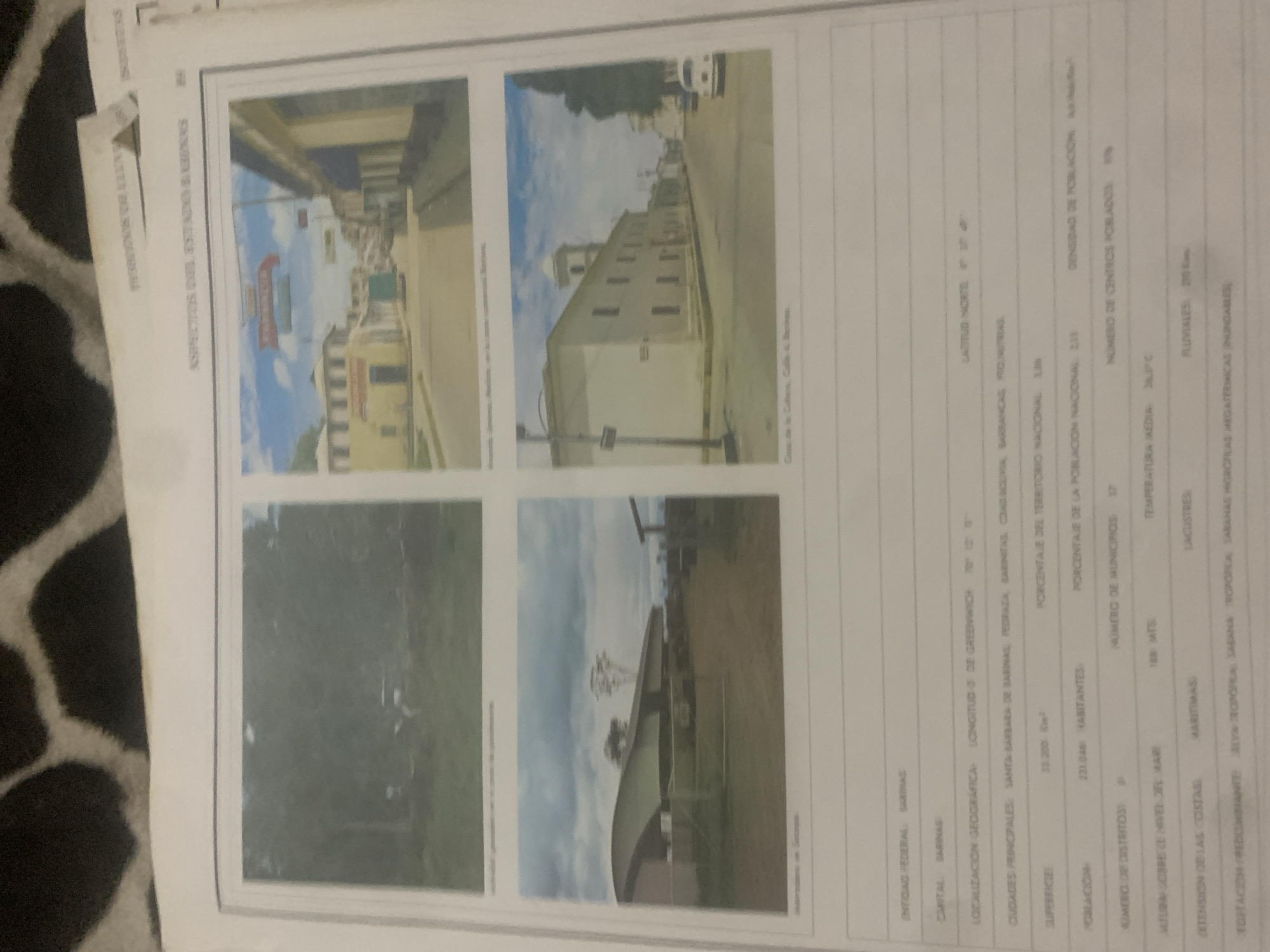
The image contains a document with several photographs and accompanying text. The photographs depict scenes from a town or city, likely in Venezuela, given the text labels.

The top left photograph shows a street scene with buildings and a red and yellow sign that appears to be a business. The top right photograph shows a long, light-colored building with a domed structure on top, possibly a church or public building, with a street in front of it. The bottom left photograph is a grainy image of lush green foliage, possibly a park or natural area. The bottom right photograph shows a modern building with a curved roof and a prominent windmill in the background.

The text on the document provides geographical and demographic information. It lists "ENTIDAD FEDERAL SARINAS" and "CAPITAL SARINAS," indicating that the location is related to the state of "Sarinhas." It also includes details such as longitude and latitude, surface area, population, number of municipalities, and average temperature. Other labels mention "MARITIMAS," "LACUSTRES," and "FLUVIALES," suggesting different types of geographical features. The overall impression is a report or survey of a specific region in Venezuela. The photographs appear to be illustrative of the location being described. The lighting in the photographs suggests daytime.
bombolico

Jun 25, 2026, 2:32 PM

La Tagua, Venezuela

Stake attention in this memory

nostalgic
informative
historical
documentary
academic

The image contains a document with several photographs and accompanying text. The photographs depict scenes from a town or city, likely in Venezuela, given the text labels. The top left photograph shows a street scene with buildings and a red and yellow sign that appears to be a business. The top right photograph shows a long, light-colored building with a domed structure on top, possibly a church or public building, with a street in front of it. The bottom left photograph is a grainy image of lush green foliage, possibly a park or natural area. The bottom right photograph shows a modern building with a curved roof and a prominent windmill in the background. The text on the document provides geographical and demographic information. It lists "ENTIDAD FEDERAL SARINAS" and "CAPITAL SARINAS," indicating that the location is related to the state of "Sarinhas." It also includes details such as longitude and latitude, surface area, population, number of municipalities, and average temperature. Other labels mention "MARITIMAS," "LACUSTRES," and "FLUVIALES," suggesting different types of geographical features. The overall impression is a report or survey of a specific region in Venezuela. The photographs appear to be illustrative of the location being described. The lighting in the photographs suggests daytime.

Loading AttnAds…

transactions
revenues
stakers
Earliest
Latest
Highest stake

No transactions found

More from this user

More from La Tagua

bombolico

Jun 25, 2026, 2:32 PM

La Tagua, Venezuela

Licensed under Creative Commons Attribution 4.0 International License. You are free to share and adapt this content with proper attribution.



