Stake attention in this memory
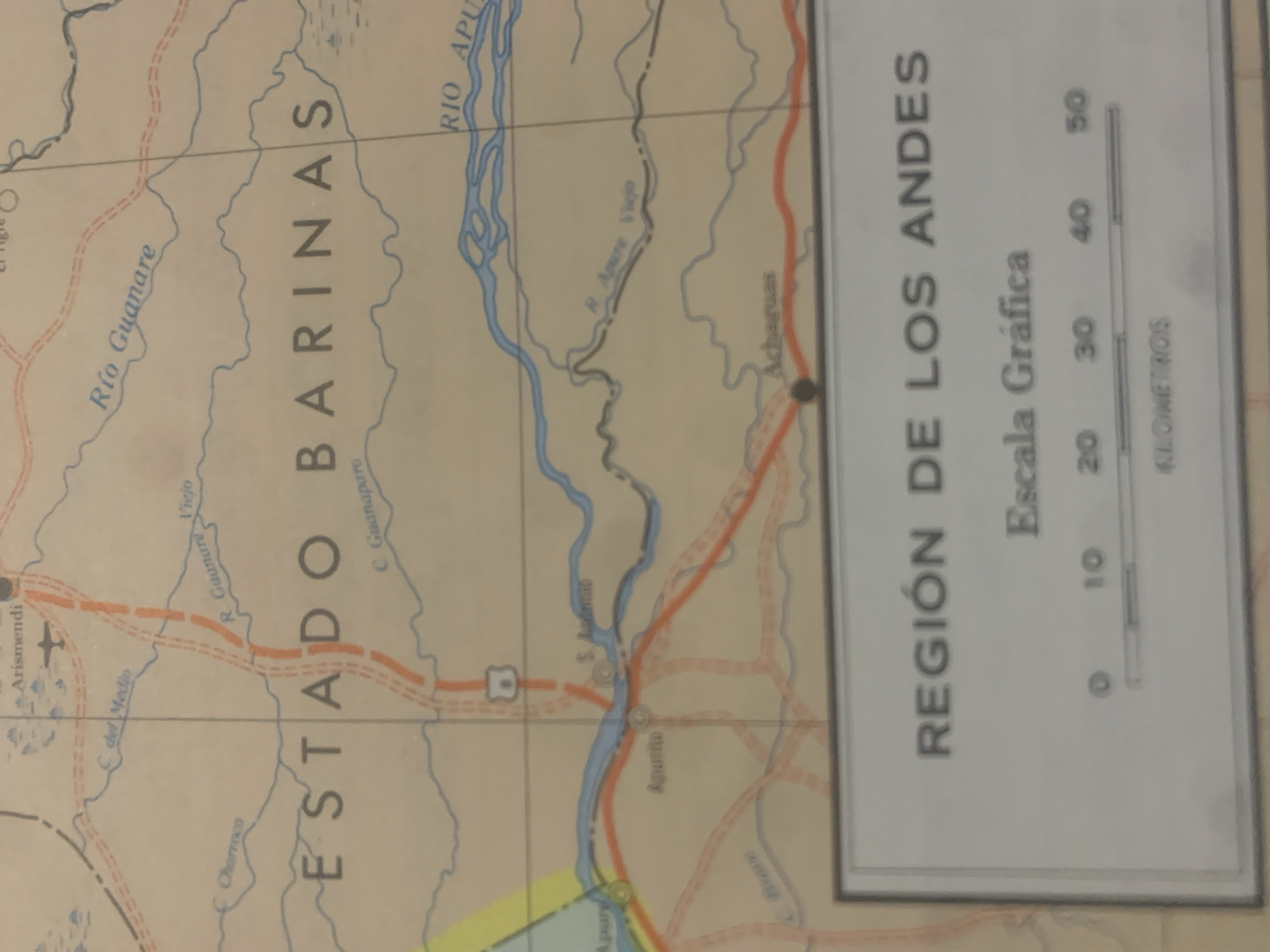
This is a photograph of a map, likely a section of a road map or geographical map. The map is oriented vertically and depicts a region with rivers, roads, and place names. Prominently displayed is the text "ESTADO BARINAS" in large, bold letters, indicating a state or administrative region. Other visible text includes place names like "Río Guanare," "Arismendi," "Agurito," and "C. Guanaparo." The map also shows a river system, with the "RÍO APURE" being a significant waterway. A key feature of the map is a graphical scale on the right side, labeled "Escala Gráfica" and "KILOMETROS," with markings for 0, 10, 20, 30, 40, and 50 kilometers. This scale provides information about distances represented on the map. The title above the scale reads "REGIÓN DE LOS ANDES," suggesting the geographical area covered by the map is part of the Andes region. There are also symbols on the map, including what appears to be an airplane icon near "Arismendi," indicating an airport or airfield. Roads are depicted as red and orange lines, some with dashed segments. The overall color palette of the map is muted, with beige and light blue being dominant. The photograph has a slightly blurry quality, and the lighting suggests it was taken indoors, possibly with ambient light. The image provides a snapshot of cartographical information related to a specific region in Venezuela, highlighting geographical features and infrastructure.
Symbol
54A4B
Volume
11,550
Creator
+$0.03
Revenue
+$0.04
TVL
$2.39
Loading AttnAds…

2

Rev Bot 🤖💰
Injected revenue 2mo ago
“Revenue bonus for the last stake.”
+$0.04 USD





