Stake attention in this memory
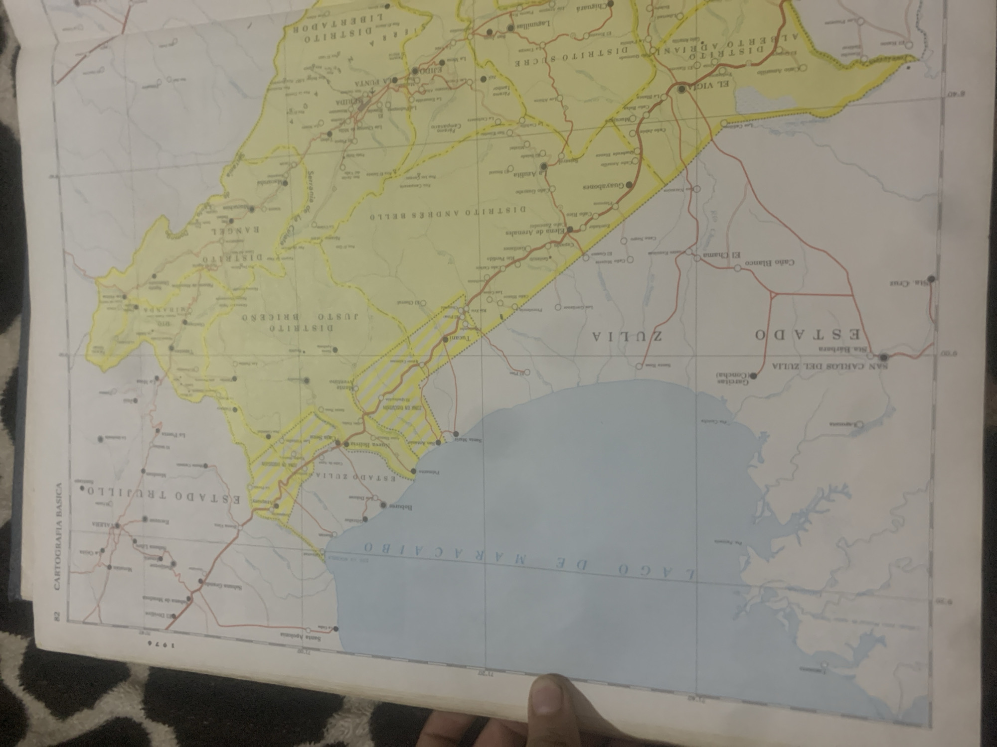
This is a photograph of an open map, likely a page from an atlas or a fold-out map. The map displays a region in Venezuela, with "ESTADO ZULIA" and "ESTADO TRUJILLO" clearly visible, indicating a focus on these states. Various districts and towns are labeled in Spanish, such as "DISTRITO ANDRÉS BELLO," "DISTRITO SUCRE," "VALERA," and "MARACAIBO." The map shows geographical features like rivers, roads, and bodies of water, with "LAGO DE MARACAIBO" being a prominent feature. The map is dated "1976" and has the text "CARTOGRAFIA BASICA" along the left edge. The overall scene suggests a geographical or historical context, with the map being the central subject. The lighting is uneven, with some parts of the map being brighter than others, and a hand is partially visible in the lower right corner, holding the map open. The background consists of a dark, patterned surface, possibly a rug or blanket.
Loading AttnAds…
No transactions found





