Stake attention in this memory
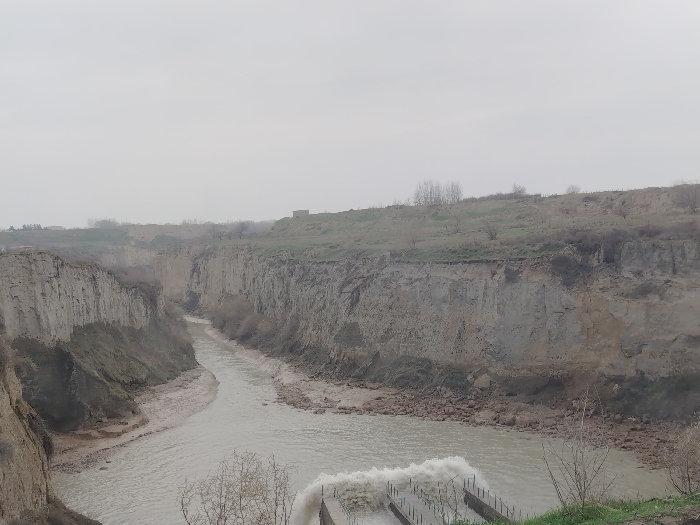
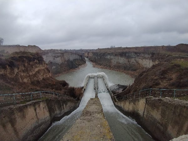
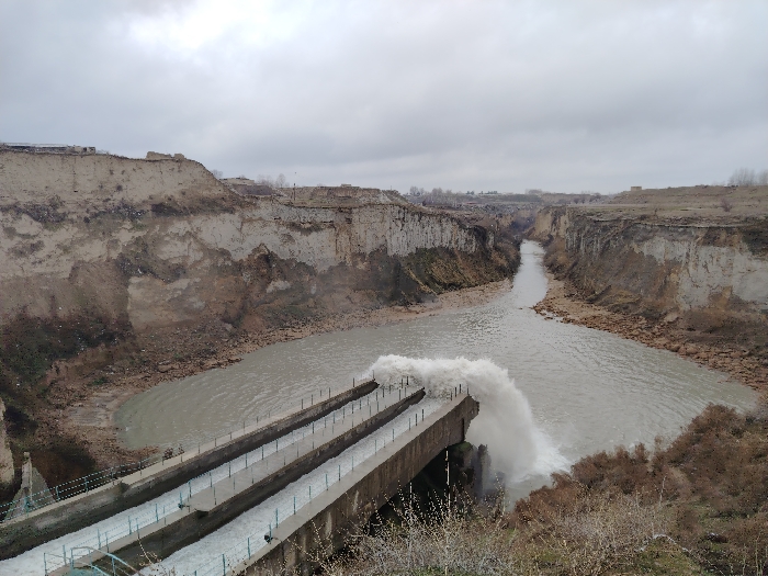
The image depicts an aerial view of a water management system within a deeply eroded natural canyon in Kuchchinar, Uzbekistan, under an overcast sky. Two parallel concrete channels, featuring metal railings, extend into the canyon from the left foreground. Water actively flows through these channels, culminating in a forceful discharge from their ends, creating a large, turbulent plume of white water as it merges with a wide, murky, light-brown river or reservoir below. This body of water flows further into the distance, constrained by the steep, barren, and heavily eroded earthen walls of the canyon. The surrounding terrain on the canyon edges is dry, with sparse, brown vegetation. No individuals or specific objects beyond the described infrastructure and natural elements are visible.
Loading AttnAds…
No transactions found