Sign in
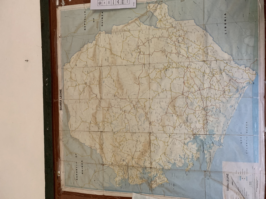
The image displays a large, aged map of Sierra Leone, mounted vertically within a dark frame on a light-colored wall. The map shows significant signs of wear, including numerous creases, folds, and a visible yellowing of the paper, indicating it is an older document.

The central subject is the country of Sierra Leone, depicted with its geographical features and infrastructure. The landmass is colored in varying shades of light beige and yellow, while the coastal areas and surrounding waters of the Atlantic Ocean are light blue. A dense network of roads and smaller tracks, marked in brown and yellow lines, covers the entire country. Rivers, some mountainous terrain, and numerous smaller settlements are also visible across the map.

Notable text labels include "SIERRA LEONE" along the western edge and again within a legend block in the bottom right corner. The northern border is labeled "REPUBLIC OF GUINEA," and the eastern border shows "LIBERIA." The body of water to the west is identified as the "NORTH ATLANTIC OCEAN." Many smaller place names, cities, and geographical features are printed throughout the map, though most are unreadable due to the image resolution. Above the top left corner of the map, a white sheet of paper with unreadable tabular text is pinned to the wall.

The scene is an indoor setting, and no activity or event is taking place; it is a static display of the map. The condition of the map suggests it has been a fixture for a considerable period.
F
FM-6ZyXE3

Dec 16, 2024, 2:56 PM

Freetown, Sierra Leone

Stake attention in this memory

The image displays a large, aged map of Sierra Leone, mounted vertically within a dark frame on a light-colored wall. The map shows significant signs of wear, including numerous creases, folds, and a visible yellowing of the paper, indicating it is an older document. The central subject is the country of Sierra Leone, depicted with its geographical features and infrastructure. The landmass is colored in varying shades of light beige and yellow, while the coastal areas and surrounding waters of the Atlantic Ocean are light blue. A dense network of roads and smaller tracks, marked in brown and yellow lines, covers the entire country. Rivers, some mountainous terrain, and numerous smaller settlements are also visible across the map. Notable text labels include "SIERRA LEONE" along the western edge and again within a legend block in the bottom right corner. The northern border is labeled "REPUBLIC OF GUINEA," and the eastern border shows "LIBERIA." The body of water to the west is identified as the "NORTH ATLANTIC OCEAN." Many smaller place names, cities, and geographical features are printed throughout the map, though most are unreadable due to the image resolution. Above the top left corner of the map, a white sheet of paper with unreadable tabular text is pinned to the wall. The scene is an indoor setting, and no activity or event is taking place; it is a static display of the map. The condition of the map suggests it has been a fixture for a considerable period.

Loading AttnAds…

transactions
revenues
stakers
Earliest
Latest
Highest stake

No transactions found

More from this user

More from Freetown

Nearby

this memory

nearby events

FFM-6ZyXE3

Dec 16, 2024, 2:56 PM

Freetown, Sierra Leone

Licensed under Creative Commons Attribution 4.0 International License. You are free to share and adapt this content with proper attribution.