Stake attention in this memory
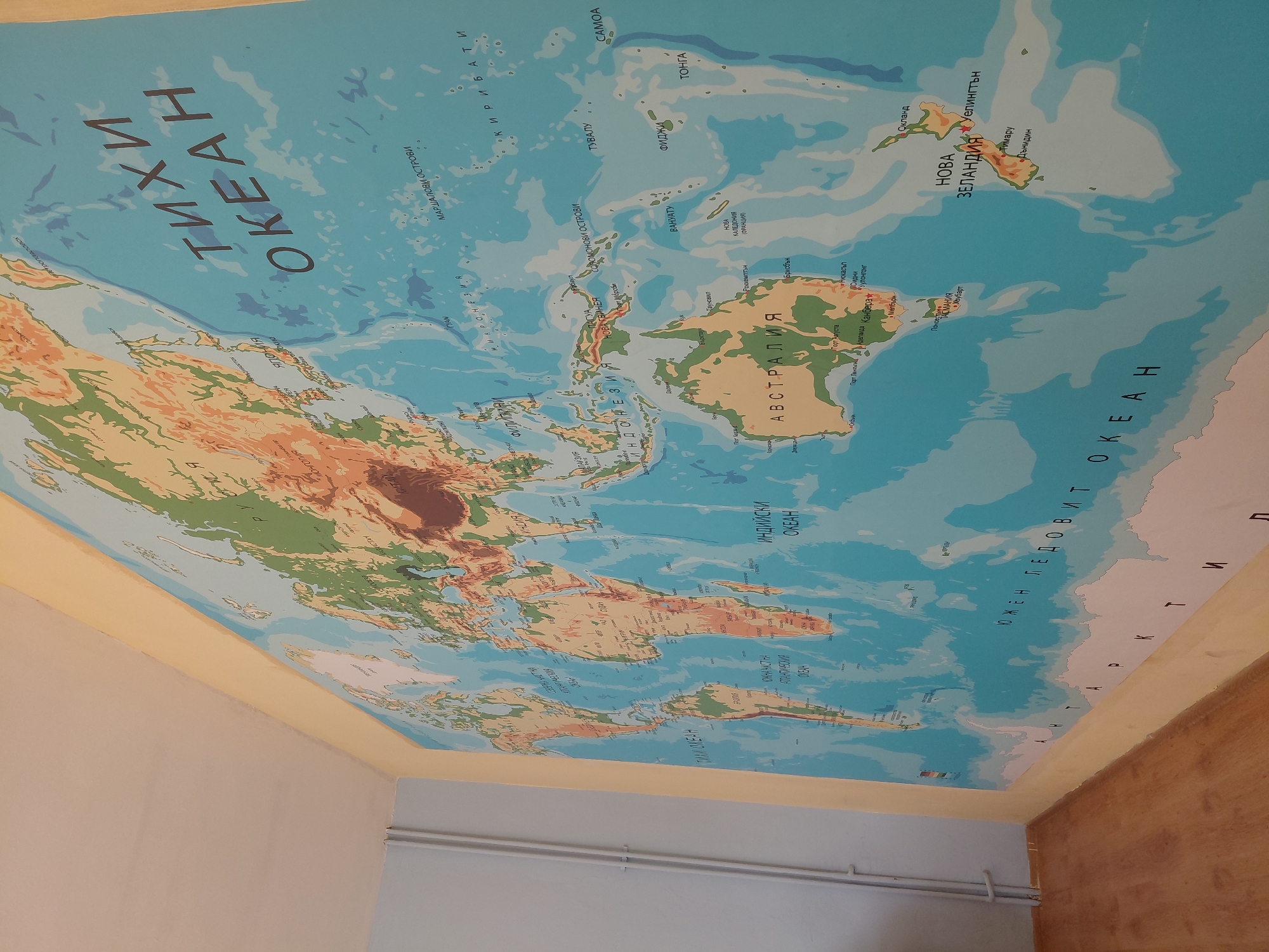
This media file captures an indoor scene featuring a large, colorful physical relief map of the world, likely affixed to the ceiling or the upper part of a wall in a room. No activity is taking place. The map displays landmasses with topographical variations in shades of green, brown, and tan, indicating elevation. Oceans are depicted in varying shades of blue to represent depth. The perspective suggests the map is overhead, with the Pacific Ocean dominating the left and central portions, and Australia and New Zealand visible towards the right. The South American continent and Antarctica are visible in the lower right section of the map, while parts of Asia and North America are visible on the upper left. Visible text on the map is in Cyrillic, specifically Bulgarian, aligning with the provided context of Svishtov, Bulgaria. Key geographical labels include: "ТИХИ ОКЕАН" (Pacific Ocean), "ИНДИЙСКИ ОКЕАН" (Indian Ocean), "ЮЖЕН ЛЕДОВИТ ОКЕАН" (Southern Ocean), and "АТЛАНТИЧЕСКИЯ ОКЕАН" (Atlantic Ocean). Countries and regions labeled include "АВСТРАЛИЯ" (Australia), "НОВА ЗЕЛАНДИЯ" (New Zealand), "ИНДОНЕЗИЯ" (Indonesia), "НОВА ГВИНЕЯ" (New Guinea), "МИКРОНЕЗИЯ" (Micronesia), "МАРШАЛОВИ ОСТРОВИ" (Marshall Islands), "СОЛОМОНОВИ ОСТРОВИ" (Solomon Islands), "КИРИБАТИ" (Kiribati), "ТУВАЛУ" (Tuvalu), "САМОА" (Samoa), "ТОНГА" (Tonga), "ФИДЖИ" (Fiji), "ВАНУАТУ" (Vanuatu), and "НОВА КАЛЕДОНИЯ (ФРАНЦИЯ)" (New Caledonia (France)). Several cities are also marked, such as "Уелингтън" (Wellington), "Окланд" (Auckland), "Брисбън" (Brisbane), and "Сидни" (Sydney). The surrounding walls are painted in a light, neutral color, with a yellowish stripe where the map meets the wall. A section of light-colored pipes runs horizontally along one wall below the map. The lighting suggests an indoor setting, but the time of day or weather conditions cannot be determined.
Symbol
579CC
Volume
7,940
Creator
+$0.00
Revenue
+$0.00
TVL
$9.83