
Sign in
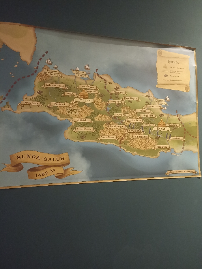
A map of the Sunda-Galuh region in West Java, Indonesia, is mounted on a blue wall. The map depicts the region's geography, featuring mountains, rivers, and islands. The map's title, "Sunda-Galuh," is prominently displayed in a yellow banner with the elevation "1482 M" written beneath it.  The map includes a legend in a small rectangular box, which explains the symbols used on the map. The map is in Indonesian language. The coordinates provided, -6.596 latitude and 106.793 longitude, correspond to the city of Bogor, which is located outside of the region displayed on the map. The map is likely located in an educational or cultural institution.
FM-DWNFF3

Apr 10, 2025, 2:35 AM

Bogor, Indonesia

Stake attention in this memory

nostalgic
historic
whimsical
imaginative
fantasy

A map of the Sunda-Galuh region in West Java, Indonesia, is mounted on a blue wall. The map depicts the region's geography, featuring mountains, rivers, and islands. The map's title, "Sunda-Galuh," is prominently displayed in a yellow banner with the elevation "1482 M" written beneath it. The map includes a legend in a small rectangular box, which explains the symbols used on the map. The map is in Indonesian language. The coordinates provided, -6.596 latitude and 106.793 longitude, correspond to the city of Bogor, which is located outside of the region displayed on the map. The map is likely located in an educational or cultural institution.

Loading AttnAds…

transactions
revenues
stakers
Earliest
Latest
Highest stake

No transactions found
More from this user

More from Bogor

FM-DWNFF3

Apr 10, 2025, 2:35 AM

Bogor, Indonesia

Licensed under Creative Commons Attribution 4.0 International License. You are free to share and adapt this content with proper attribution.