Stake attention in this memory
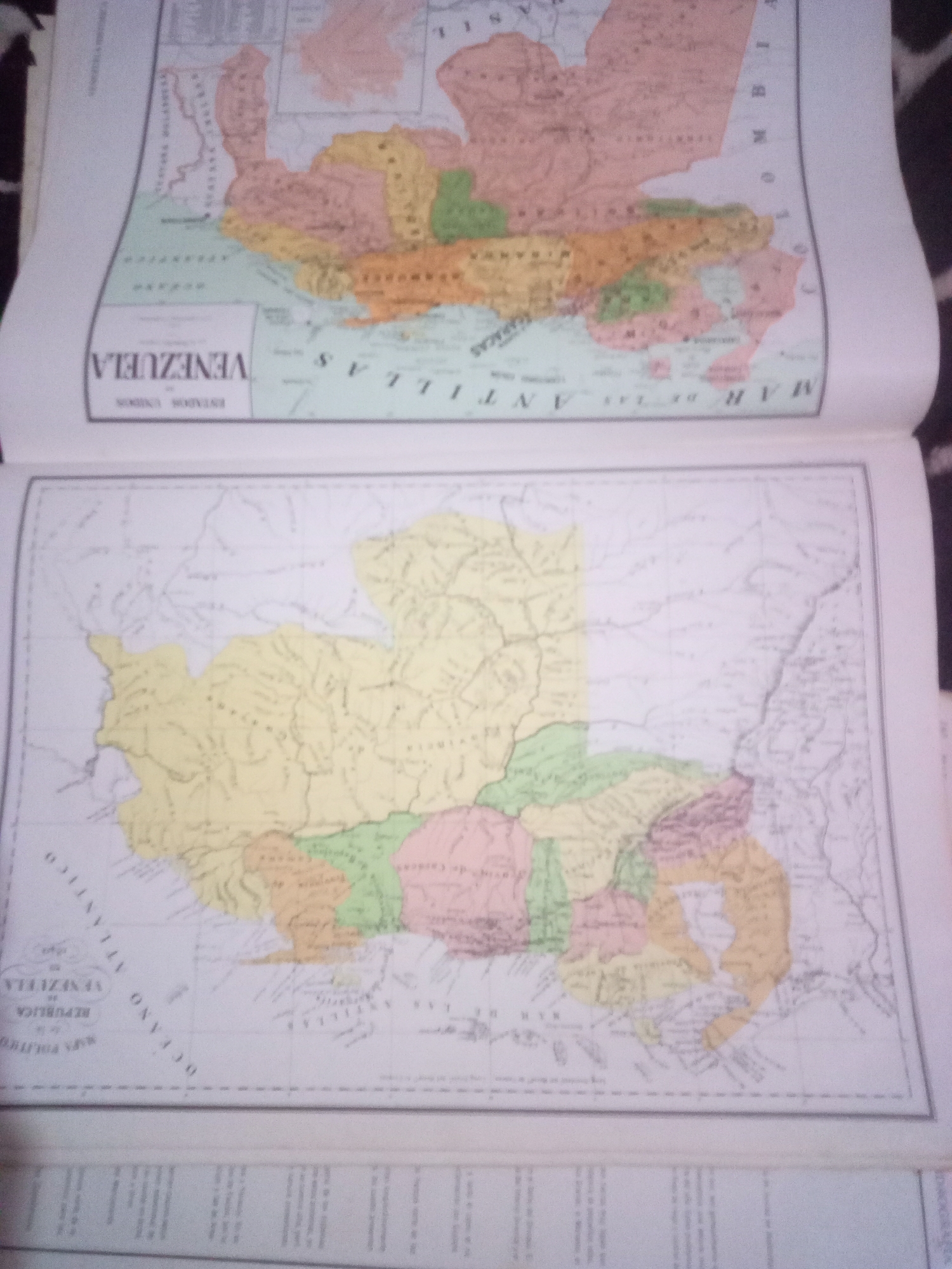
The image displays two antique maps. The top map, partially visible, shows a political division of a region with colored territories labeled in Spanish. Text on the map includes "VENEZUELA" and "MAR DE LAS ANTILLAS." The bottom map is a detailed political map of Venezuela, also in Spanish. It shows various states or provinces delineated by colored borders. Text labels include "OCEANO ATLANTICO," "REPÚBLICA DE VENEZUELA," and "MAR DE LAS ANTILLAS." The maps are printed on paper and appear to be from a book or atlas, as indicated by the binding on the right side of the image. The scene is well-lit, and the maps are the sole focus. There is no information present in the image that can place it in the city of La Tagua, Venezuela, or any other specific city.
Symbol
59549
Volume
11,550
Creator
+$0.03
Revenue
+$0.04
TVL
$2.39
Loading AttnAds…

2

Rev Bot 🤖💰
Injected revenue 3mo ago
“Revenue bonus for the last stake.”
+$0.04 USD






