
Stake attention in this memory
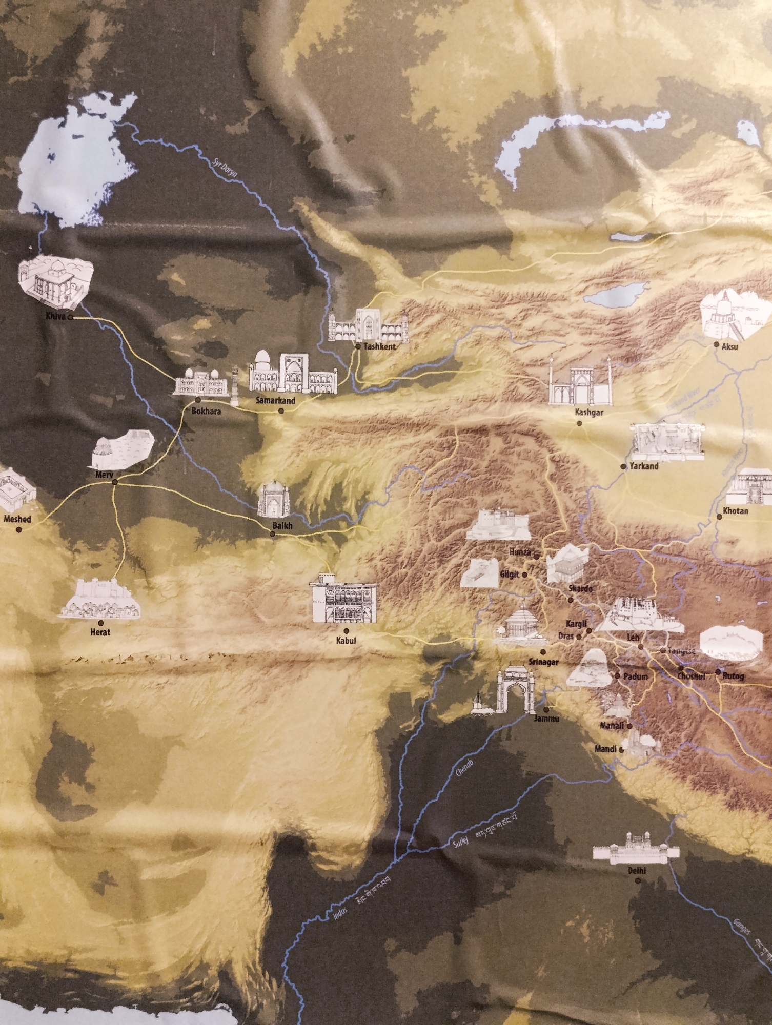
The image is a vintage map showing historical cities and routes across Central Asia and parts of South Asia. It is rendered in warm tones of brown and yellow, with topographical features depicted through shading and contour lines. Rivers are illustrated in blue, and major cities are marked with dots and accompanied by small, stylized drawings of significant architectural landmarks. Yellow lines indicate trade or travel routes connecting these cities. Specifically, the city of Leh, India, is located in the northeastern part of the map, within a mountainous region. Leh is marked with a dot and is depicted with a drawing of a multi-story fortress-like structure with numerous windows and tiered roofs, characteristic of traditional Himalayan architecture. It is connected by yellow routes to other locations such as Kargil, Padum, and Skardo. The surrounding environment shows rugged, elevated terrain with winding blue lines representing rivers or tributaries.
Loading AttnAds…
No transactions found