Stake attention in this memory
map
Europe
geography
countries
old world
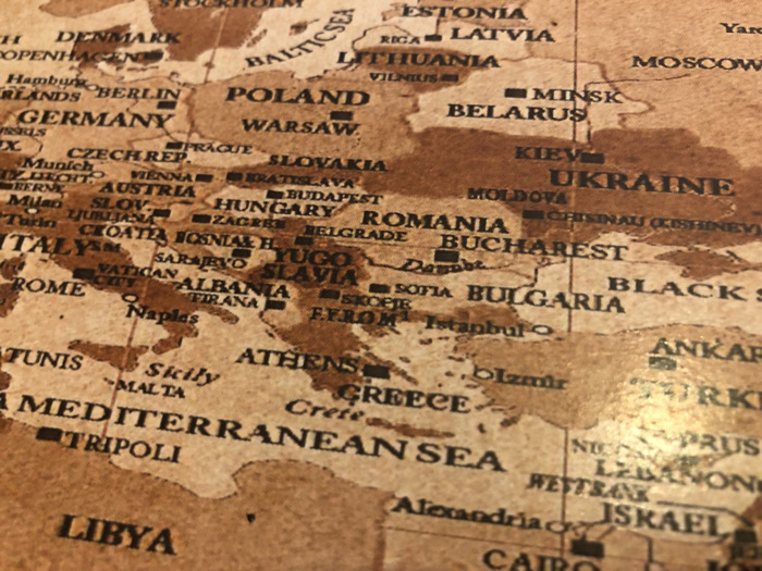
The image displays a portion of a vintage map, likely of Europe and the surrounding areas. Visible countries include Germany, Poland, Ukraine, Romania, Bulgaria, Greece, Italy, and Libya. Key cities are labeled, such as Berlin, Warsaw, Kiev, Bucharest, Athens, and Rome. The map also marks the Mediterranean Sea and the Black Sea. The overall aesthetic is aged, with a sepia-toned color scheme.
transactions
revenues
stakers
Earliest
Latest
Highest stake
No transactions found