
Stake attention in this memory
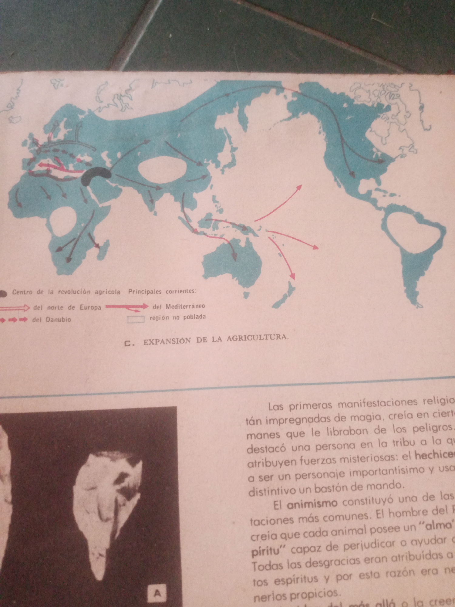
The image displays a world map with colored arrows illustrating expansion routes. A legend indicates different types of arrows represent "del norte de Europa" (from Northern Europe) and "del Danubio" (from the Danube), and a gray area represents "región no poblada" (unpopulated region). The map is overlaid with text in Spanish, with the title "C. EXPANSIÓN DE LA AGRICULTURA" (C. EXPANSION OF AGRICULTURE) visible. Below the map, there is text discussing religious manifestations and animism. To the left of the text, there are two photographs of what appear to be teeth or bone fragments. The image does not contain any information that would allow for identification of the city of Santa Ana, Venezuela.
Loading AttnAds…
No transactions found