
Stake attention in this memory
informative
complex
navigational
geographic
detailed
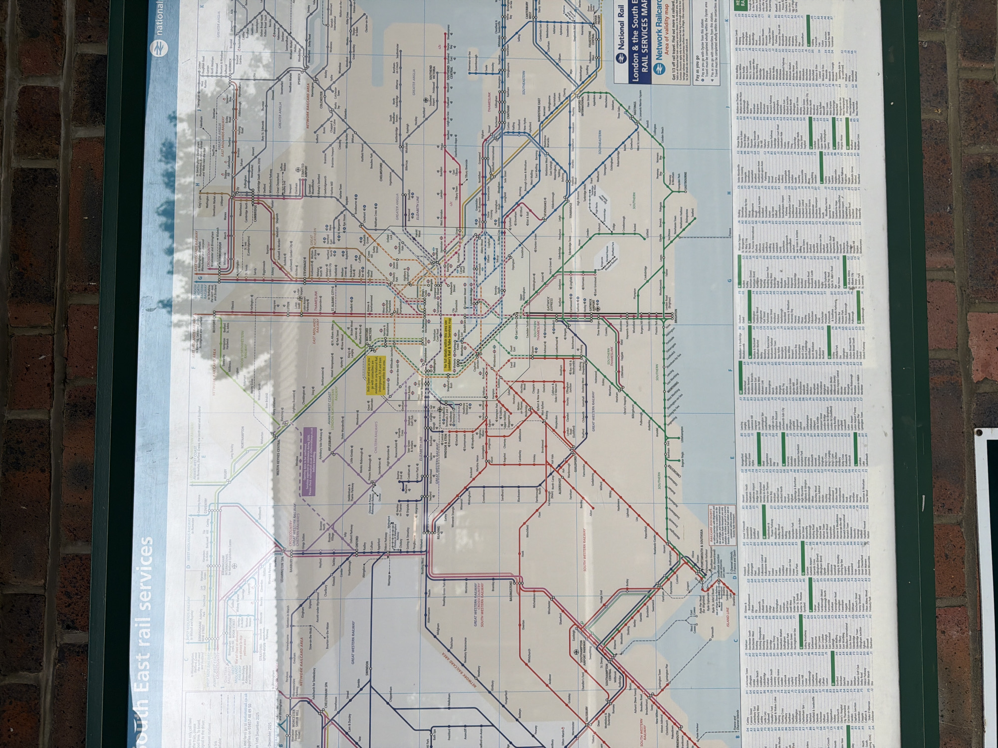
The image shows a section of a National Rail London & the South East Rail Services Map, likely located at a train station. The map is displayed on a blue and green sign affixed to a red brick wall. The map details railway lines and stations within and surrounding London. Specifically, the cropped section of the map shows rail services running towards the South East of England. Text sections and a color-coded network of railway lines indicate routes, stations, and destinations. A "Network Railcard Area" map indicates discounts for rail travel.
Loading AttnAds…
transactions
revenues
stakers
Earliest
Latest
Highest stake
No transactions found