Stake attention in this memory
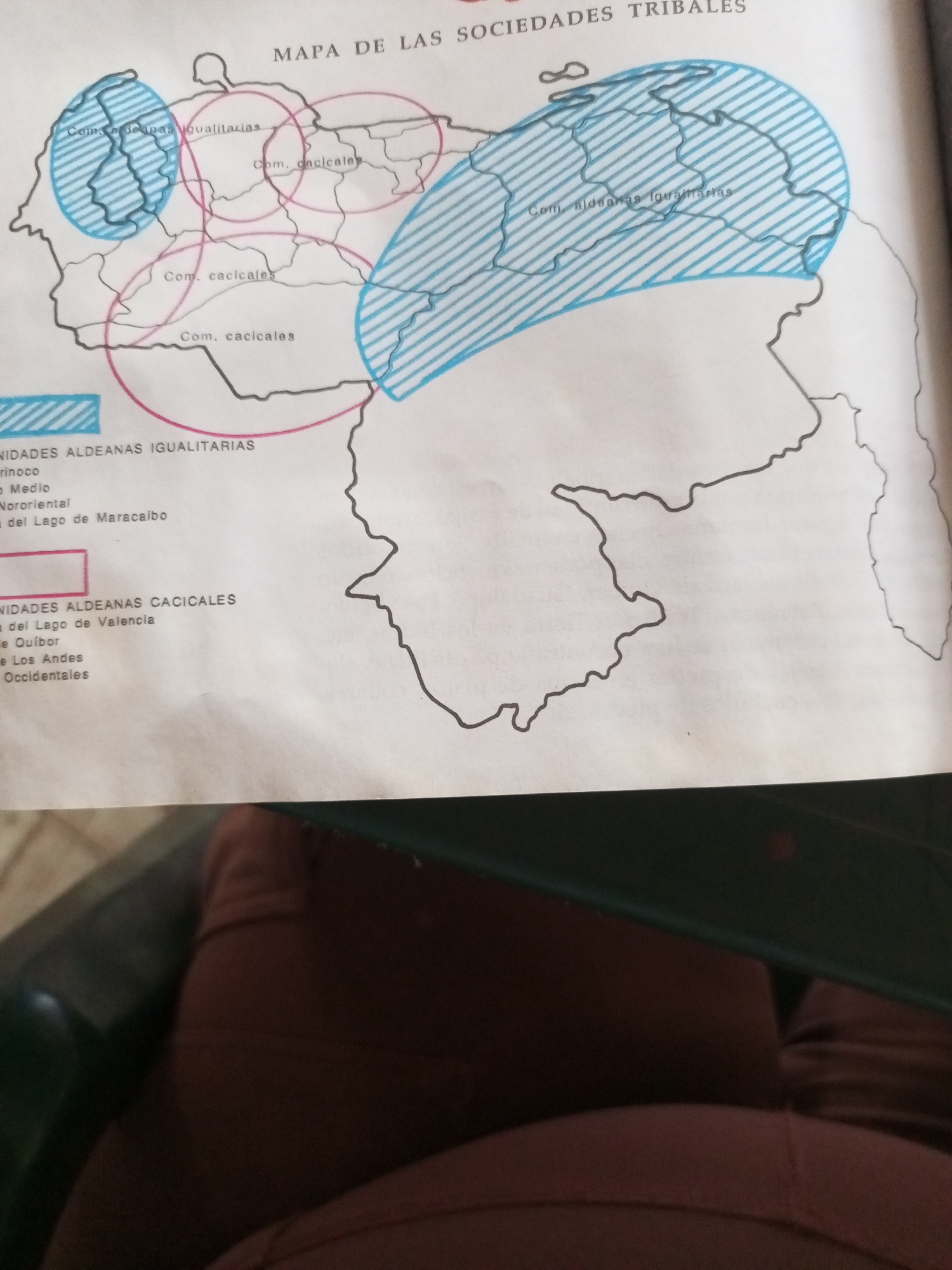
This is a photograph of a map titled "MAPA DE LAS SOCIEDADES TRIBALES" (Map of Tribal Societies). The map depicts geographical regions within Venezuela, marked with different colored areas and labels. There are two types of communities indicated: "Comunidades Aldeanas Igualitarias" (Egalitarian Village Communities) and "Comunidades Aldeanas Cacicales" (Chieftain Village Communities). The "Egalitarian Village Communities" are represented by shaded blue areas and are labeled in several locations, including "Com. aldeanas igualitarias" and "Com. aldeanas Igualtarias". There is also a legend at the bottom left that lists specific regions associated with these communities: "Orinoco", "Medio", "Nororiental", and "del Lago de Maracaibo". The "Chieftain Village Communities" are indicated by pink circles and are labeled as "Com. cacicales" in multiple areas. A corresponding legend on the bottom left details the locations: "del Lago de Valencia", "de Quíbor", "de Los Andes", and "Occidentales". The map itself is drawn on white paper, with black outlines for the geographical borders and red lines for some of the community areas. The image appears to be taken from an overhead perspective, possibly at a slight angle, and the map is resting on a dark surface, partially obscured by a person's clothing which is dark brown and textured. The lighting suggests an indoor setting, possibly a table. The overall scene focuses on the educational or historical content of the map.
Symbol
5B943
Volume
11,550
Creator
+$0.09
Revenue
+$0.11
TVL
$8.06
2
Rev Bot 🤖💰
Injected revenue 11d ago
“Revenue bonus for the last stake.”
+$0.12 USD