Stake attention in this memory
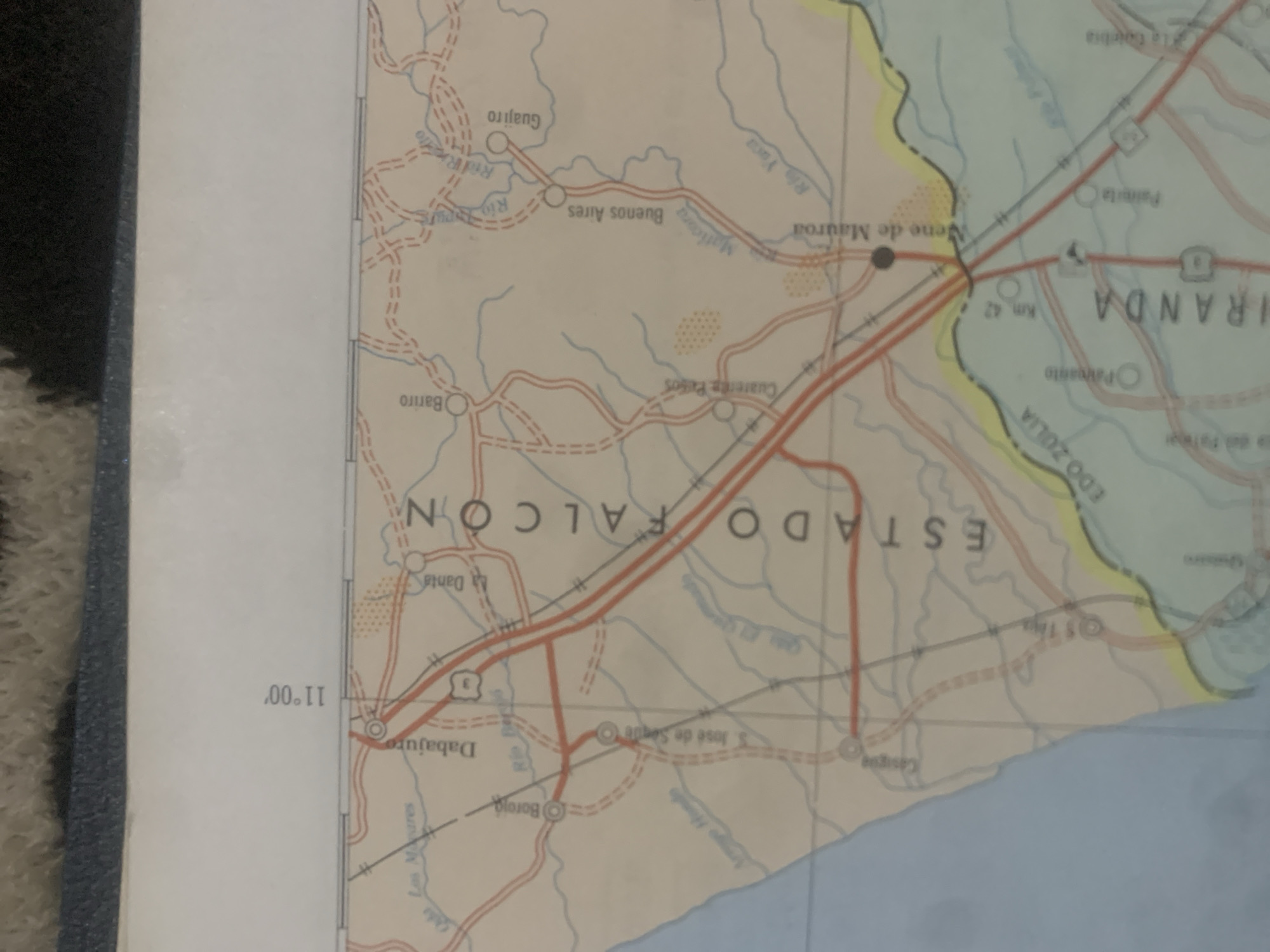
This is a tilted, close-up photograph of a map of La Tagua, Venezuela. The map is predominantly white with colored lines indicating roads and rivers. Red lines represent highways, while dashed red lines suggest smaller roads or tracks. Blue lines depict rivers and bodies of water. The map shows several towns and geographical features, indicated by circles and text. Notable locations visible on the map include: "ESTADO FALCON", "VENE DE MAUROC", "BUENOS AIRES", "GUIAJRO", "BARRO", "DABAUJO", "BOROIG", "S. JOSE DE SEQU", "PAREJETA", "LA EREMITA", and "EDO ZULIA". There are also labels like "Rio Yoco", "Rio Mamo", and "Rio Ocumare". Kilometer markers are present, such as "Km 42". The coordinates "11°.00'" are also visible. The map appears to be in color, with areas colored yellow and pale green, possibly representing different regions or types of terrain. The lighting suggests it was photographed indoors, likely under artificial light, as there are no shadows indicating a specific time of day or weather conditions. The focus is primarily on the map itself, with a dark, blurred object on the left edge of the frame, possibly a book or binder. The map is the sole subject and focus of the image.
Symbol
5BF7D
Volume
11,550
Creator
+$0.03
Revenue
+$0.05
TVL
$2.40
Loading AttnAds…

2

Rev Bot 🤖💰
Injected revenue 2mo ago
“Revenue bonus for the last stake.”
+$0.05 USD





