Stake attention in this memory
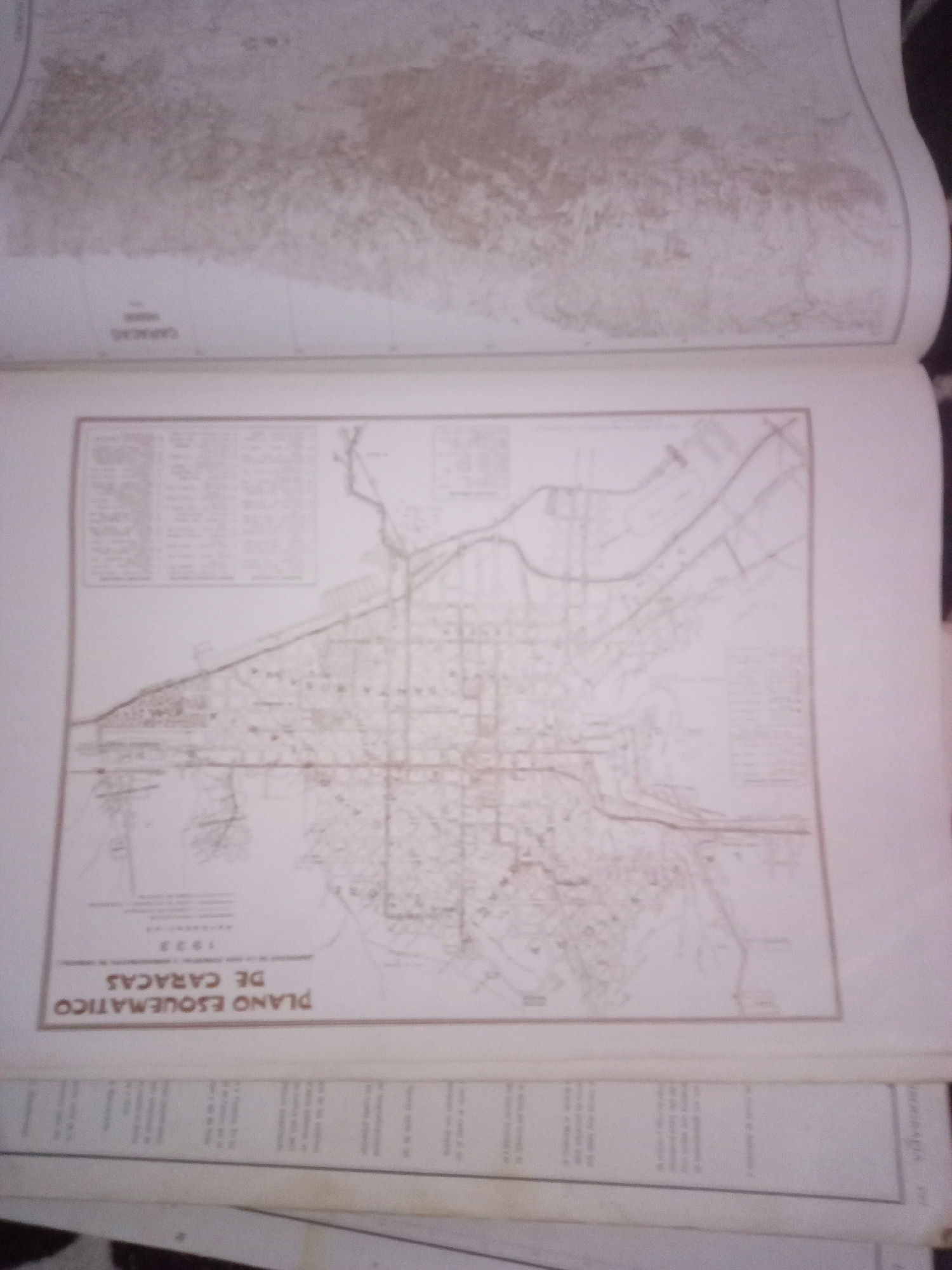
The image shows a close-up of an old map, likely an atlas page. The visible portion of the map depicts a schematic diagram of what appears to be a city with streets, buildings, and possibly a river or coastline. Text in Spanish is visible, including "PLANO ESQUEMATICO DE CARACAS" which translates to "Schematic Map of Caracas." Below this, "1933" is clearly legible, indicating the year of the map. The map is bound within a book, with other pages visible above and below. There are no people or specific actions depicted in this image; it is solely a representation of cartographic information. The reference to "La Tagua, Venezuela" is not present in the visible text or features of the map.
Symbol
5C13E
Volume
11,550
Creator
+$0.03
Revenue
+$0.05
TVL
$2.41
Loading AttnAds…

2

Rev Bot 🤖💰
Injected revenue 3mo ago
“Revenue bonus for the last stake.”
+$0.06 USD






