Stake attention in this memory
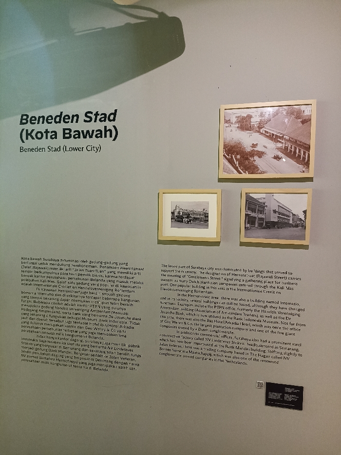
The image shows a display at the Museum of the City of Surabaya, Indonesia (latitude: -7.246, longitude: 112.737) about the city's lower section, called “Beneden Stad” or “Kota Bawah”. There is a text panel in Indonesian and English explaining the history and importance of this part of Surabaya. The text panel describes how the lower part of the city was dominated by buildings that supported the city's economy. It specifically highlights the significance of “Gentlemen’s Street” (Rajawali Street) as a gathering place for businesses and the “Kali Mas” as a route for international trade. Three black and white photos are displayed beside the text panel, showing what the lower section of the city looked like in the past, including buildings, streets, and people. The photo on the top right shows a street lined with buildings, with people and horse-drawn carts. The photo on the left shows a group of people in front of a building. The photo on the bottom right shows a street with buildings on both sides. The museum display is located on a wall with a shadow projected on the top left corner. The text panel and the photos are all framed and surrounded by a white background. The museum also has a red sticker with the number 11.
Loading AttnAds…
No transactions found