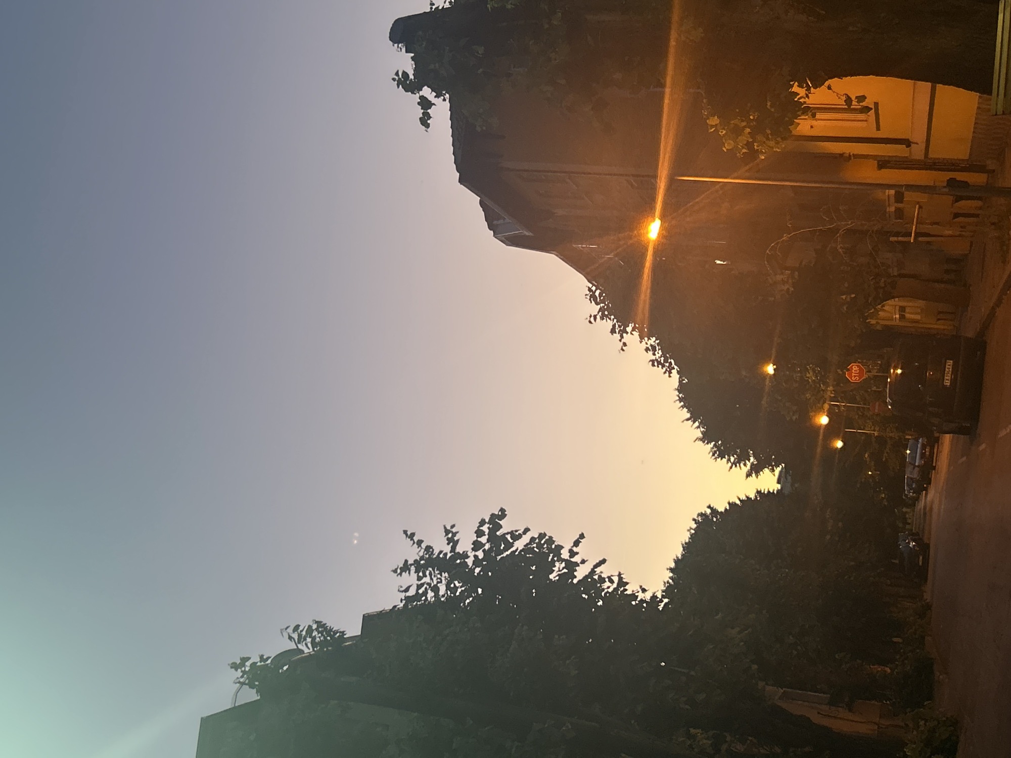
Stake attention in this memory
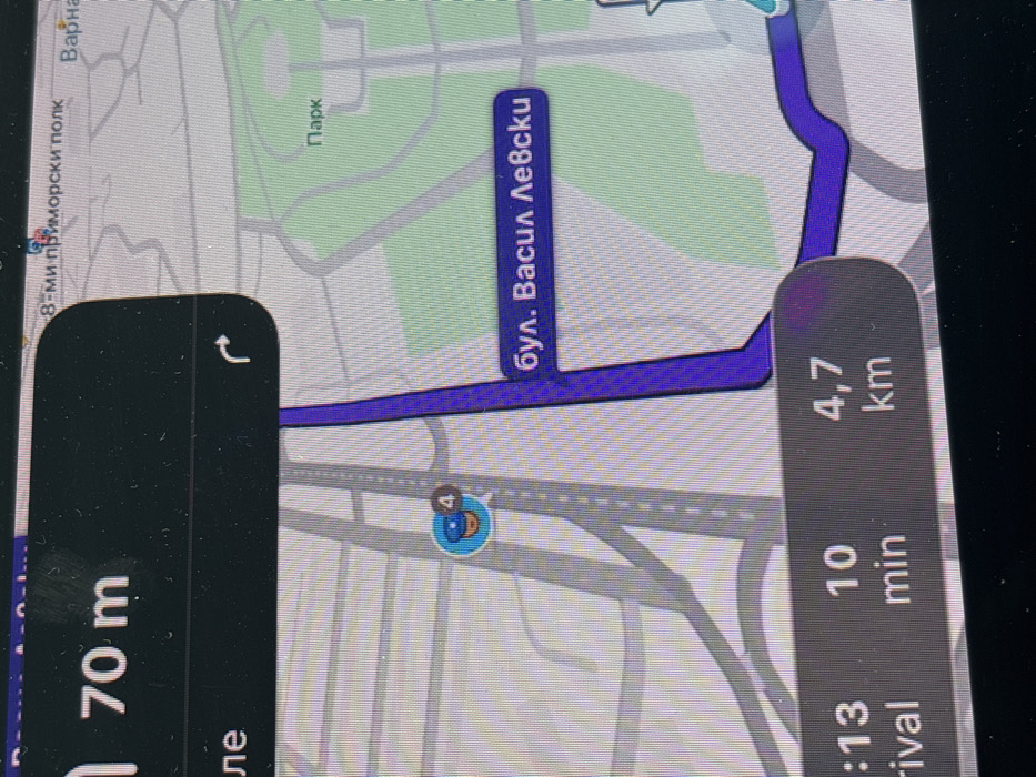
A close-up photograph captures a digital navigation map displayed on a screen. The map depicts a section of the city of Varna, Bulgaria. A prominent dark blue line represents the active navigation route, identified as "бул. Васил Левски" (Vasil Levski Blvd.) running vertically through the right half of the image. To the right of this boulevard, a large green area is labeled "Парк" (Park). At the top right corner, "Варна" (Varna) and a partial "8-ми приморски полк" (8th Primorski Polk) are visible. At the upper left, a dark grey overlay indicates an upcoming maneuver: "70 m" followed by a white right-turn arrow. A similar dark grey overlay at the bottom provides route information: "10 min" for estimated travel time and "4,7 km" for estimated remaining distance. Grey lines denote other roads and intersections. A circular light blue icon, featuring a smiling face and a small white numeral '4', is positioned on a grey road in the upper-middle left, likely indicating a user or traffic report point. The screen surface displays minor dust accumulation. No human figures or overt actions are depicted beyond the functional elements of the navigation interface.
No transactions found
More from this user
More from Varna