Stake attention in this memory
informative
detailed
geographic
historical
educational
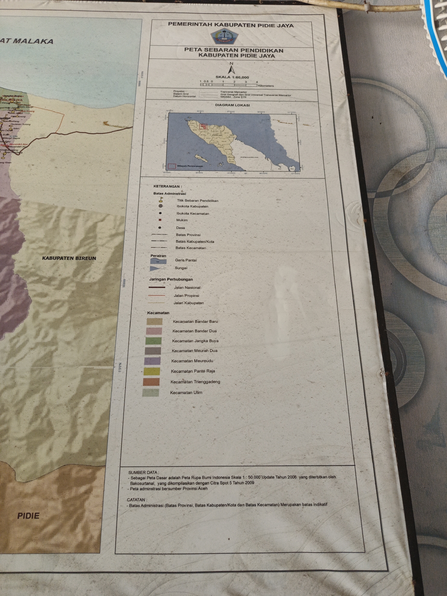
The image shows a map titled "PETA SEBARAN PENDIDIKAN KABUPATEN PIDIE JAYA" (Education Distribution Map of Pidie Jaya Regency). The map includes a legend (KETERANGAN) defining administrative boundaries, water features, transportation networks, and kecamatan (districts) within the Pidie Jaya Regency. Adjacent areas of "AT MALAKA", "KABUPATEN BIREUN", and "PIDIE" are labeled around the main map area. It also includes a diagram of the location of the map within Indonesia. A scale, projection information, and data sources are provided. The city of Mesjid Tuha, Indonesia, is not specifically named on the image.
Loading AttnAds…
transactions
revenues
stakers
Earliest
Latest
Highest stake
No transactions found


