Stake attention in this memory
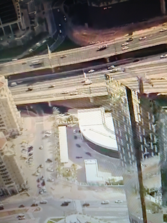
The image is an aerial view of a highway interchange and surrounding buildings in Netanya, Israel, taken at coordinates 32.32 latitude and 34.85 longitude. The image is taken from an elevated perspective, likely from a nearby building. In the foreground, a multi-story apartment building with numerous windows is visible. Several vehicles are parked in a lot on the street below the building. A highway with several lanes of traffic is visible in the background. There are several overpasses and an underpass that connect the highway to the surrounding roads. The highway is fairly busy with cars moving in both directions. The surrounding environment is a typical urban area with buildings, roads, and limited vegetation.
Symbol
5E80E
Volume
442
Creator
+$0.03
Revenue
+$0.00
TVL
$0.28