
Sign in
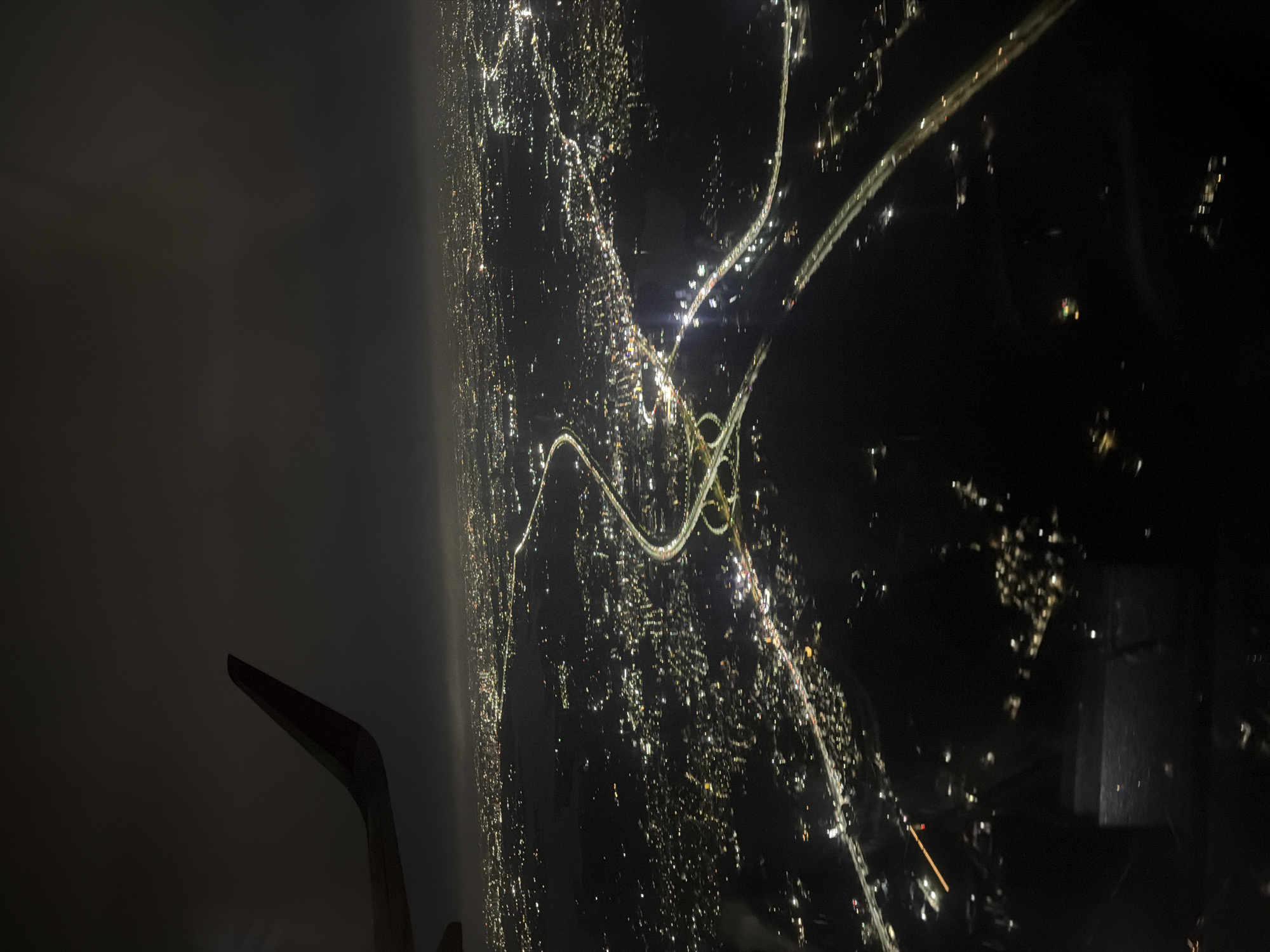
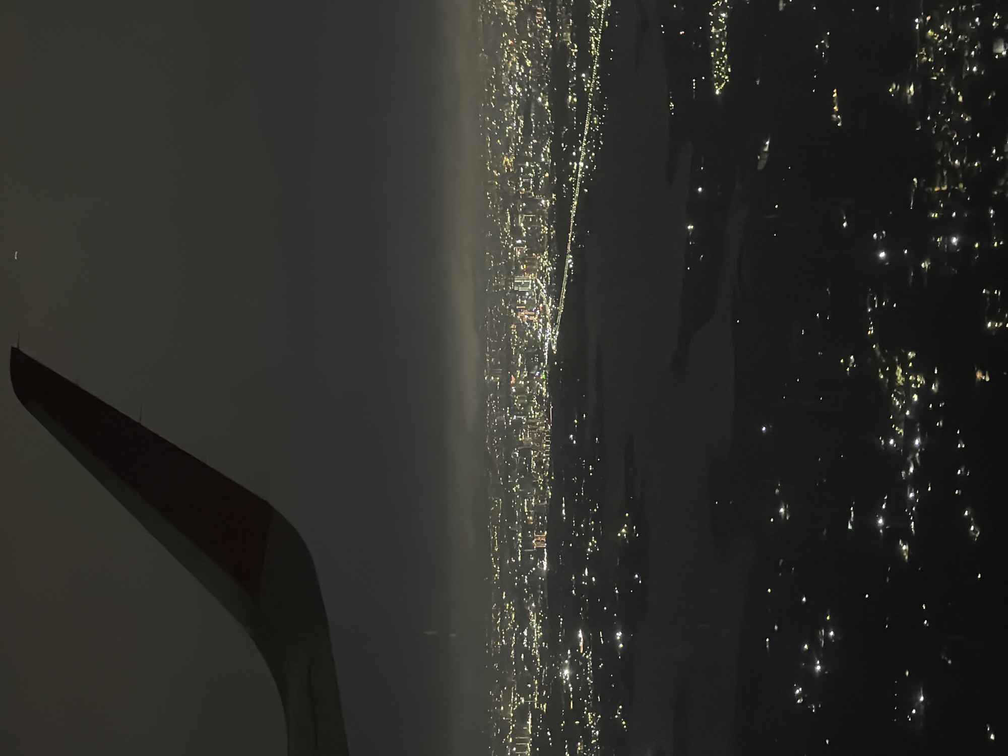
An aerial nighttime view shows an airplane wing in the upper left corner, partially obscuring a vast, illuminated cityscape below. The city is a network of roads and buildings, with streetlights and building lights creating a dense tapestry of light. A prominent highway interchange with multiple curving ramps is visible in the center of the image, its lights clearly defined against the dark surroundings. The city appears to stretch to the horizon, fading into a hazy glow under a dark, cloudy sky. The location is identified as Gandiguda, India.
makx0000collapse

Jul 4, 2026, 4:19 PM

Gandiguda, India

Stake attention in this memory

awe
wonder
melancholy
peaceful
contemplative

An aerial nighttime view shows an airplane wing in the upper left corner, partially obscuring a vast, illuminated cityscape below. The city is a network of roads and buildings, with streetlights and building lights creating a dense tapestry of light. A prominent highway interchange with multiple curving ramps is visible in the center of the image, its lights clearly defined against the dark surroundings. The city appears to stretch to the horizon, fading into a hazy glow under a dark, cloudy sky. The location is identified as Gandiguda, India.

Loading AttnAds…

transactions
revenues
stakers
Earliest
Latest
Highest stake

No transactions found

More from this user

More from Gandiguda
Memory
makx0000collapse

Jul 4, 2026, 4:19 PM

Gandiguda, India

Licensed under Creative Commons Attribution 4.0 International License. You are free to share and adapt this content with proper attribution.