Stake attention in this memory
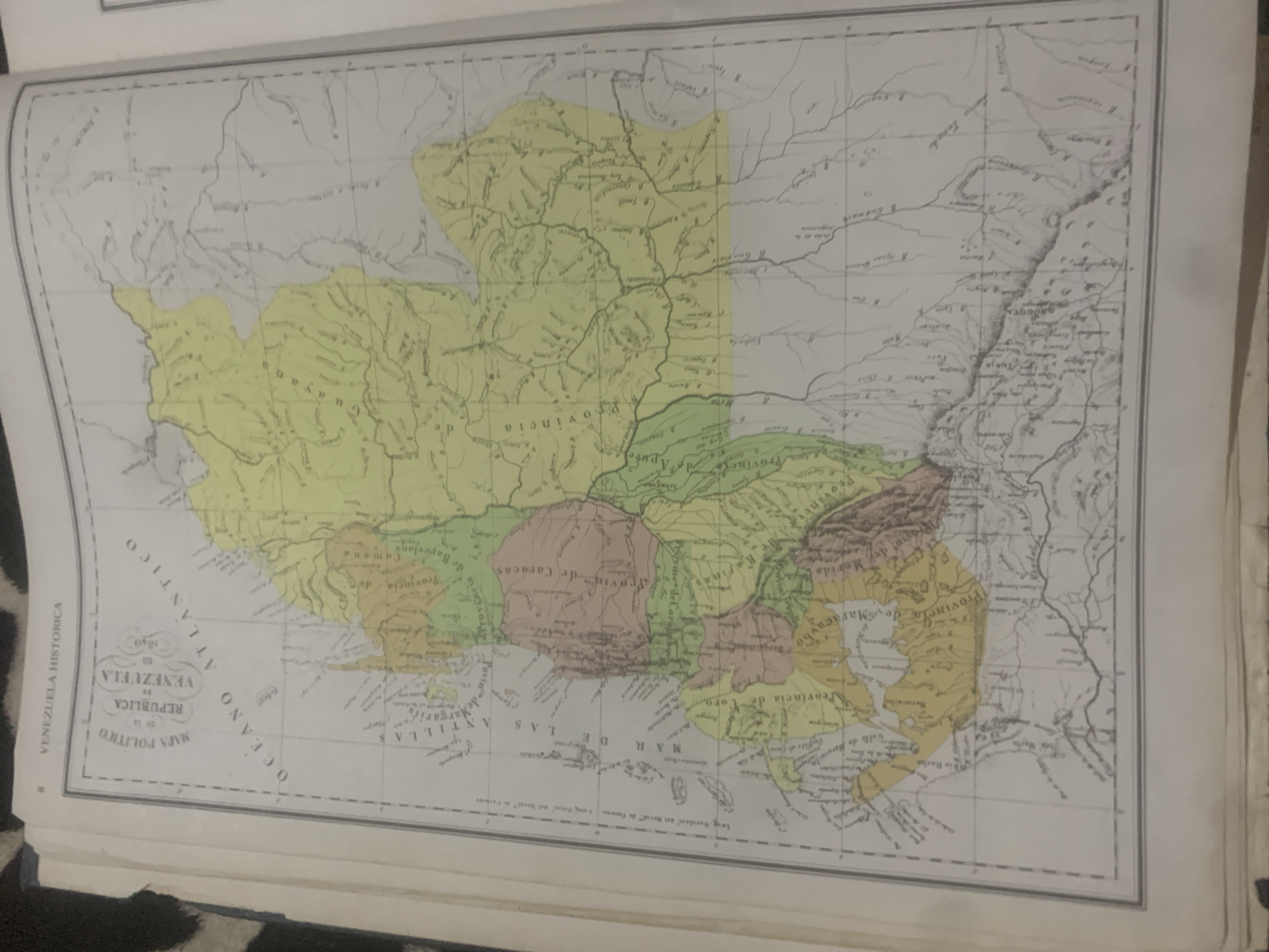
This is a historical map of Venezuela, titled "VENEZUELA HISTORICA MAPA POLITICO de la REPUBLICA VENEZUELA 1840". The map depicts various provinces and geographical features, including bodies of water like the OCEANO ATLANTICO and MAR DE LAS ANTILLAS. Different regions are colored in yellow, green, and red, likely indicating provincial boundaries or different administrative divisions. Text on the map includes names of provinces such as "Provincia de Caracas," "Provincia de Merida," and "Provincia de Maracaibo," as well as the Atlantic Ocean and Caribbean Sea. The map appears to be aged, with visible creases and some fading. The scene is that of a historical document rather than a depiction of a real-world scene with people or specific events. The location context suggests this map pertains to the political divisions of Venezuela in 1840.
Symbol
5FC46
Volume
0
Creator
+$0.14
Revenue
+$0.00
TVL
$0.00
2
Rev Bot 🤖💰
Injected revenue 6d ago
“Revenue bonus for the last stake.”
+$0.33 USD