Stake attention in this memory
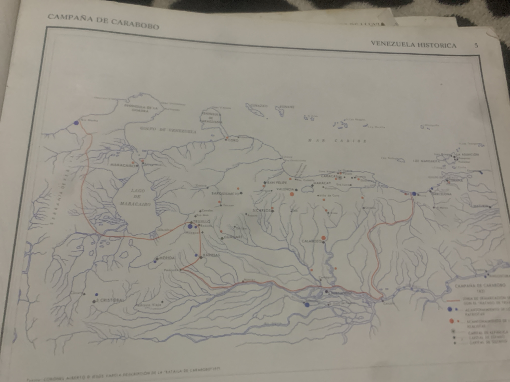
This is a photograph of a map titled "CAMPAÑA DE CARABOBO" and "VENEZUELA HISTORICA" from what appears to be a historical document. The map depicts the geography of Venezuela, highlighting key locations and routes. Red and blue dots, along with lines, indicate movements and significant points, likely related to a military campaign, as suggested by the title "CAMPAÑA DE CARABOBO 1821" and the legend at the bottom right which includes "UNIÓN DE ORGANIZACIÓN", "MOVIMIENTO DE TROPAS PATRIOTAS", and "ACUARTELAMIENTOS DE VE RECIETAS", along with various capital cities. The map shows major bodies of water like the "GOLFO DE VENEZUELA" and "MAR CARIBE," as well as geographical features such as "PENÍNSULA DE LA GOAIRA" and the "LAGO DE MARACAIBO." Numerous cities and towns are labeled, including "CARACAS," "MARACAIBO," "VALENCIA," "MERIDA," and "BARQUISIMETO." The overall scene is of an informational map, likely used for educational or historical purposes, detailing a specific campaign within Venezuela's history. The photograph itself is taken from a slightly elevated angle, with parts of the document appearing to be slightly folded or creased. The lighting suggests it was taken indoors, possibly with artificial light. No people are visible in the image, only the map and the surrounding document.
Symbol
607EF
Volume
11,550
Creator
+$0.14
Revenue
+$0.25
TVL
$11.69
2
Rev Bot 🤖💰
Injected revenue 6d ago
“Revenue bonus for the last stake.”
+$0.28 USD


