Stake attention in this memory
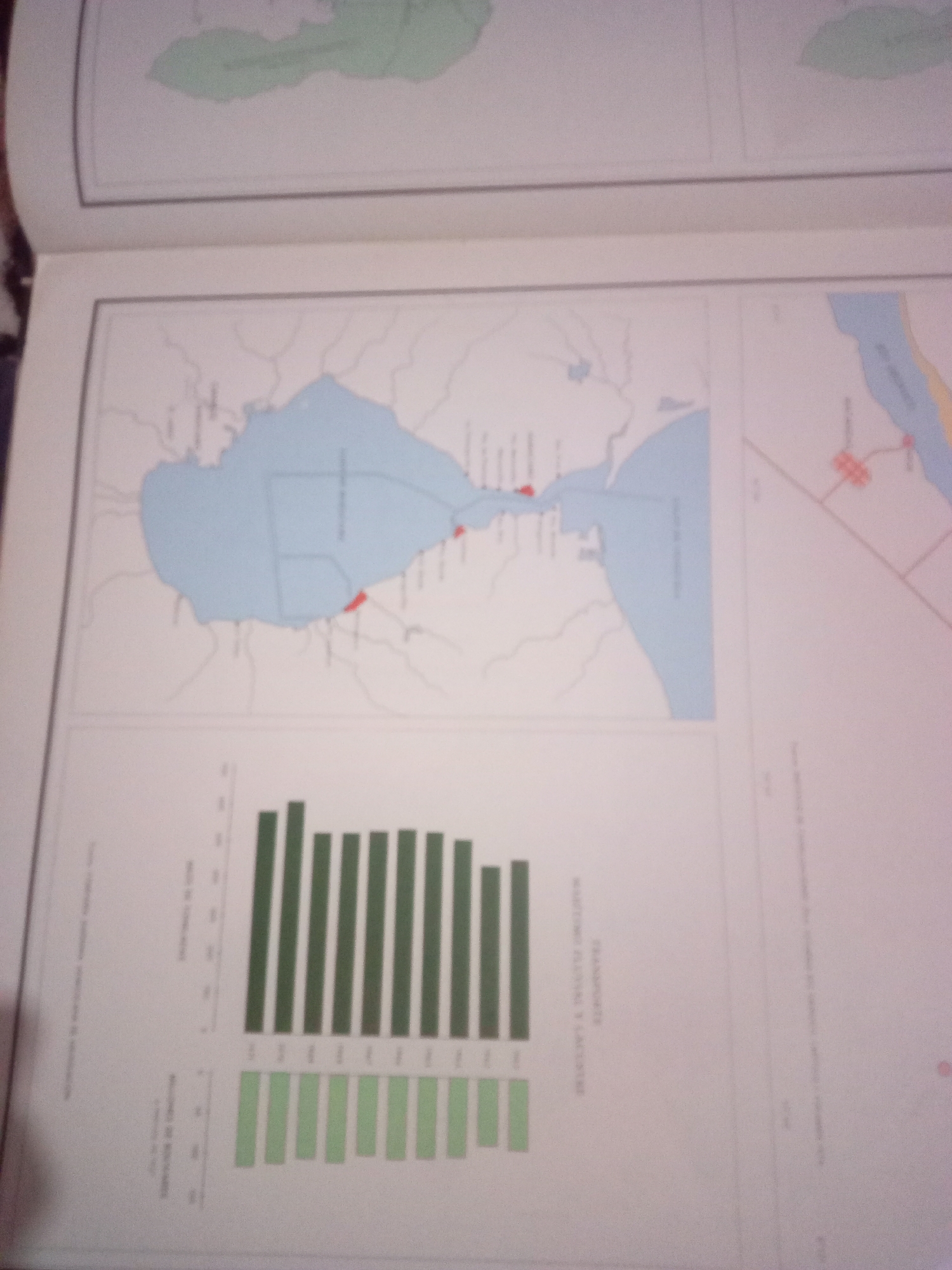
The image displays a two-page spread from a book or document, featuring geographical maps and bar charts. The top portion of the spread contains a map that appears to depict a coastal or lake region with surrounding landmasses. One of the maps shows a large body of light blue water, possibly a lake or bay, with land outlined in grey. There are some red markers indicating points of interest on the land near the water. This map is situated in the lower left of the two pages. The bottom portion of the spread contains two bar charts. The upper bar chart has dark green bars and is labeled with text that is difficult to read but appears to be a title and axis labels related to numerical data. The lower bar chart has light green bars and is also labeled, though the text is similarly obscured. To the right of the main map and charts, there is a section of another map that is partially visible. This map shows a light blue area, possibly a river or canal, with some red lines and shapes representing infrastructure or settlements. The overall scene is that of an informational document with cartographic and statistical data, likely related to geography, infrastructure, or historical information about a specific region. Without clear labels or additional context, it is impossible to definitively identify the city of Santa Ana, Venezuela, or provide specific details about its location within the displayed content.
Symbol
61221
Volume
11,550
Creator
+$0.03
Revenue
+$0.04
TVL
$2.22
Loading AttnAds…

2

Rev Bot 🤖💰
Injected revenue 3mo ago
“Revenue bonus for the last stake.”
+$0.05 USD