
Sign in
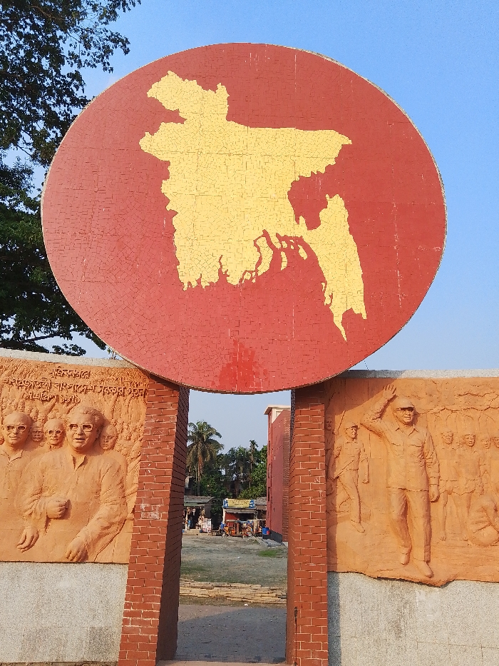
The image shows a large, red, circular structure in the shape of a map of Bangladesh. The structure is made of red and yellow tiles. The structure stands between two brick walls with a gate-like opening between them. The brick walls are adorned with bas-relief sculptures of people, possibly historical figures. The structure is located in the city of Khoria, Bangladesh, at latitude 24.024 and longitude 90.723. The scene is captured in the daytime under a clear blue sky. The background shows a grassy area with trees in the distance.  There are no people present in the immediate vicinity of the structure.
FM-7LERp2

May 9, 2025, 11:05 AM

Khoria, Bangladesh

Stake attention in this memory

patriotic
monumental
solemn
historic
proud

The image shows a large, red, circular structure in the shape of a map of Bangladesh. The structure is made of red and yellow tiles. The structure stands between two brick walls with a gate-like opening between them. The brick walls are adorned with bas-relief sculptures of people, possibly historical figures. The structure is located in the city of Khoria, Bangladesh, at latitude 24.024 and longitude 90.723. The scene is captured in the daytime under a clear blue sky. The background shows a grassy area with trees in the distance. There are no people present in the immediate vicinity of the structure.

Loading AttnAds…

transactions
revenues
stakers
Earliest
Latest
Highest stake

No transactions found
More from this user

More from Khoria

FM-7LERp2

May 9, 2025, 11:05 AM

Khoria, Bangladesh

Licensed under Creative Commons Attribution 4.0 International License. You are free to share and adapt this content with proper attribution.