Sign in
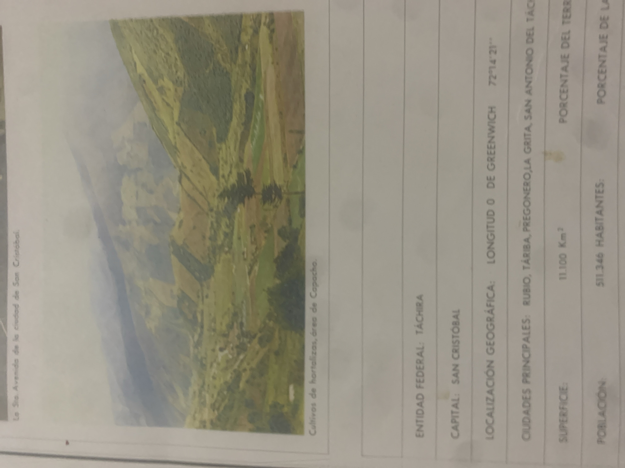
The image displays a photograph of a valley with agricultural fields on its slopes, featuring a village nestled within. The caption below the image identifies the crops as vegetables in the Capacho area. Text below the photograph provides information about the "Entidad Federal: Táchira," "Capital: San Cristóbal," and "Localización Geográfica: Longitud 0 de Greenwich, 72°14'21''." It also lists "Ciudades Principales: Rubio, Táriba, Pregonero, La Grita, San Antonio del Táchira," "Superficie: 11,100 Km²," and "Población: 511,346 Habitantes." The city of La Tagua, Venezuela is not mentioned in the provided text or visible in the image.
bombolico

Jun 25, 2026, 2:30 PM

La Tagua, Venezuela

Stake attention in this memory

serene
peaceful
vast
natural
calm

The image displays a photograph of a valley with agricultural fields on its slopes, featuring a village nestled within. The caption below the image identifies the crops as vegetables in the Capacho area. Text below the photograph provides information about the "Entidad Federal: Táchira," "Capital: San Cristóbal," and "Localización Geográfica: Longitud 0 de Greenwich, 72°14'21''." It also lists "Ciudades Principales: Rubio, Táriba, Pregonero, La Grita, San Antonio del Táchira," "Superficie: 11,100 Km²," and "Población: 511,346 Habitantes." The city of La Tagua, Venezuela is not mentioned in the provided text or visible in the image.

Loading AttnAds…

transactions
revenues
stakers
Earliest
Latest
Highest stake

No transactions found

More from this user

More from La Tagua

bombolico

Jun 25, 2026, 2:30 PM

La Tagua, Venezuela

Licensed under Creative Commons Attribution 4.0 International License. You are free to share and adapt this content with proper attribution.


