Sign in
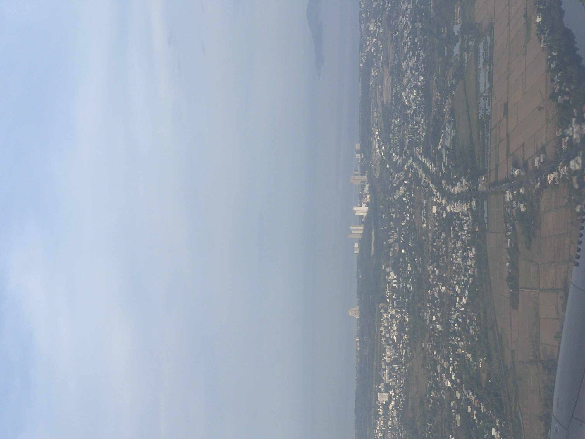
The image captures an aerial view of the city of Đà Nẵng, Vietnam, likely taken from an airplane. The sky is a pale, hazy blue, suggesting either early morning or late afternoon light, or possibly atmospheric haze. Below, a sprawling urban landscape unfolds, characterized by a dense concentration of buildings, ranging from low-rise residential structures to taller, modern high-rises visible in the distance. Roads and streets crisscross the city, with some appearing as narrow, winding paths and others as wider thoroughfares.

The terrain transitions from urban density to more rural or agricultural areas. Patches of greenery, trees, and fields are interspersed with the built environment, and some areas appear to be cultivated land, possibly rice paddies, given the checkered pattern of the fields and the presence of water. A body of water, perhaps a river or a canal, is visible on the right side of the image. In the far distance, a mountainous silhouette is faintly visible through the haze, suggesting the proximity of the sea or a coastal mountain range. The foreground shows a portion of an airplane's wing, reinforcing the aerial perspective. No people or distinct actions are discernible in the image due to the distance and resolution.
F8MAX 𒅒𒈔𒅒𒇫𒄆𒅒𒈔𒅒𒇫𒄆

Jun 27, 2026, 10:29 AM

Đà Nẵng, Vietnam

Stake attention in this memory

contemplative
calm
serene
expansive
peaceful

The image captures an aerial view of the city of Đà Nẵng, Vietnam, likely taken from an airplane. The sky is a pale, hazy blue, suggesting either early morning or late afternoon light, or possibly atmospheric haze. Below, a sprawling urban landscape unfolds, characterized by a dense concentration of buildings, ranging from low-rise residential structures to taller, modern high-rises visible in the distance. Roads and streets crisscross the city, with some appearing as narrow, winding paths and others as wider thoroughfares. The terrain transitions from urban density to more rural or agricultural areas. Patches of greenery, trees, and fields are interspersed with the built environment, and some areas appear to be cultivated land, possibly rice paddies, given the checkered pattern of the fields and the presence of water. A body of water, perhaps a river or a canal, is visible on the right side of the image. In the far distance, a mountainous silhouette is faintly visible through the haze, suggesting the proximity of the sea or a coastal mountain range. The foreground shows a portion of an airplane's wing, reinforcing the aerial perspective. No people or distinct actions are discernible in the image due to the distance and resolution.

Loading AttnAds…

transactions
revenues
stakers
Earliest
Latest
Highest stake

No transactions found

More from this user

More from Đà Nẵng

F8MAX 𒅒𒈔𒅒𒇫𒄆𒅒𒈔𒅒𒇫𒄆

Jun 27, 2026, 10:29 AM

Đà Nẵng, Vietnam

Licensed under Creative Commons Attribution 4.0 International License. You are free to share and adapt this content with proper attribution.