Stake attention in this memory
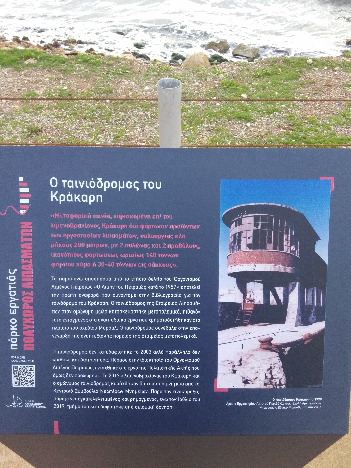
An informational sign in Drapetsona, Greece, stands in the foreground with a rocky coastline and the sea visible in the background. The sign has a dark blue/purple background with white and light blue Greek text, detailing the history of "Ο ταινιόδρομος του Κράκαρη" (The Kracari Conveyor Belt). The text describes the Kracari conveyor belt as a 200-meter-long industrial structure with two pylons and two cantilevers, capable of loading 140 tons per hour of loose cargo or 30-40 tons per hour in bags, primarily for fertilizer and glass products. Built post-war, possibly with Marshall Plan funding, it contributed to the company's development. The sign explains that while not demolished in 2003, it wasn't preserved either. It became part of a "Cultural Coast" project that did not proceed. In 2017, the conveyor belt and its port arm were declared preserved monuments. Despite this, it remains abandoned and damaged, with a section collapsing due to an earthquake in July 2019. On the right side of the sign, a monochrome photograph shows the industrial structure, likely a control tower or loading station, on a rocky coastal cliff, with the sea in the background. The caption identifies it as "Ο ταινιόδρομος Κράκαρη το 1998" (Kracari conveyor belt in 1998) and credits the archive. The left side of the sign features vertical text reading "ΠΟΛΥΧΩΡΟΣ ΛΙΠΑΣΜΑΤΩΝ" (Fertilizer Complex) and "πάρκο εργατιάς" (workers' park), along with a QR code for more languages and a logo for the Municipality of Keratsini-Drapetsona. In the background, the sea stretches out under what appears to be an overcast sky, with waves gently crashing against a rocky shore. Patches of green grass are visible on the land above the water. A single, light-colored concrete post stands between the sign and the sea, suggesting a barrier or demarcation.
No transactions found