
Sign in
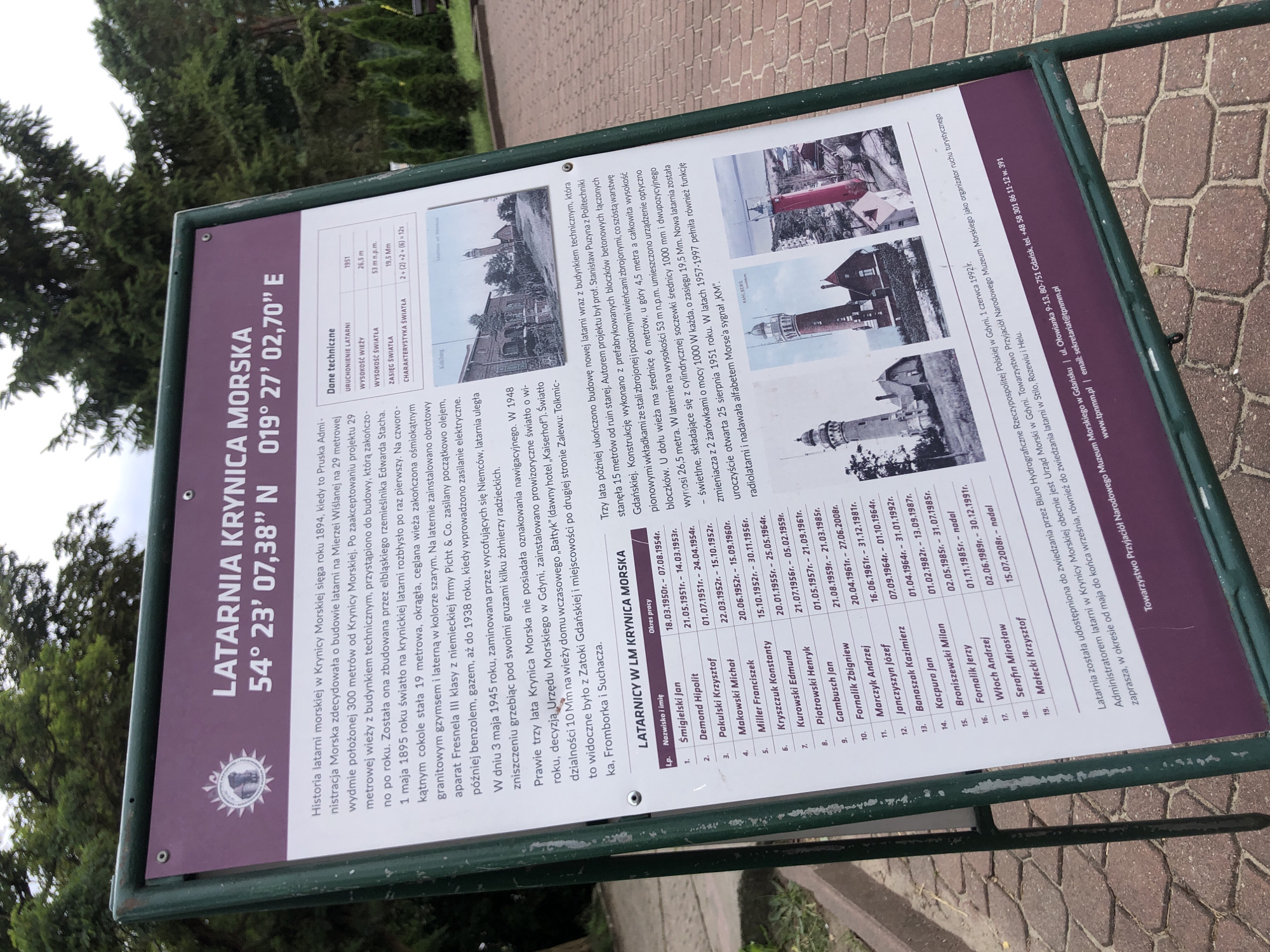
The image shows a historical information board about the Krynica Morska lighthouse, located at 54° 23′ 07.38″ N 019° 27′ 02.70″ E. The board is green and purple, with white text. The top of the board features the title "LATARNIA KRYNICA MORSKA" and its coordinates. Below this is a detailed history of the lighthouse, including its construction in 1895, its reconstruction in 1948, and its current status as a museum. There is also a table listing the lighthouse keepers and their periods of service. The lower part of the board displays three historical photographs of lighthouses and the lighthouse's location and contact information. The board is positioned outdoors, with trees and a paved walkway visible in the background.
FM-NuvCm1

Aug 10, 2026, 7:19 AM

Unknown, Unknown

Stake attention in this memory

historical
informative
educational
nostalgic
coastal

The image shows a historical information board about the Krynica Morska lighthouse, located at 54° 23′ 07.38″ N 019° 27′ 02.70″ E. The board is green and purple, with white text. The top of the board features the title "LATARNIA KRYNICA MORSKA" and its coordinates. Below this is a detailed history of the lighthouse, including its construction in 1895, its reconstruction in 1948, and its current status as a museum. There is also a table listing the lighthouse keepers and their periods of service. The lower part of the board displays three historical photographs of lighthouses and the lighthouse's location and contact information. The board is positioned outdoors, with trees and a paved walkway visible in the background.

Loading AttnAds…

transactions
revenues
stakers
Earliest
Latest
Highest stake

No transactions found

More from this user

More from Unknown

Nearby

this memory

nearby events

FM-NuvCm1

Aug 10, 2026, 7:19 AM

Unknown, Unknown

Licensed under Creative Commons Attribution 4.0 International License. You are free to share and adapt this content with proper attribution.