Stake attention in this memory
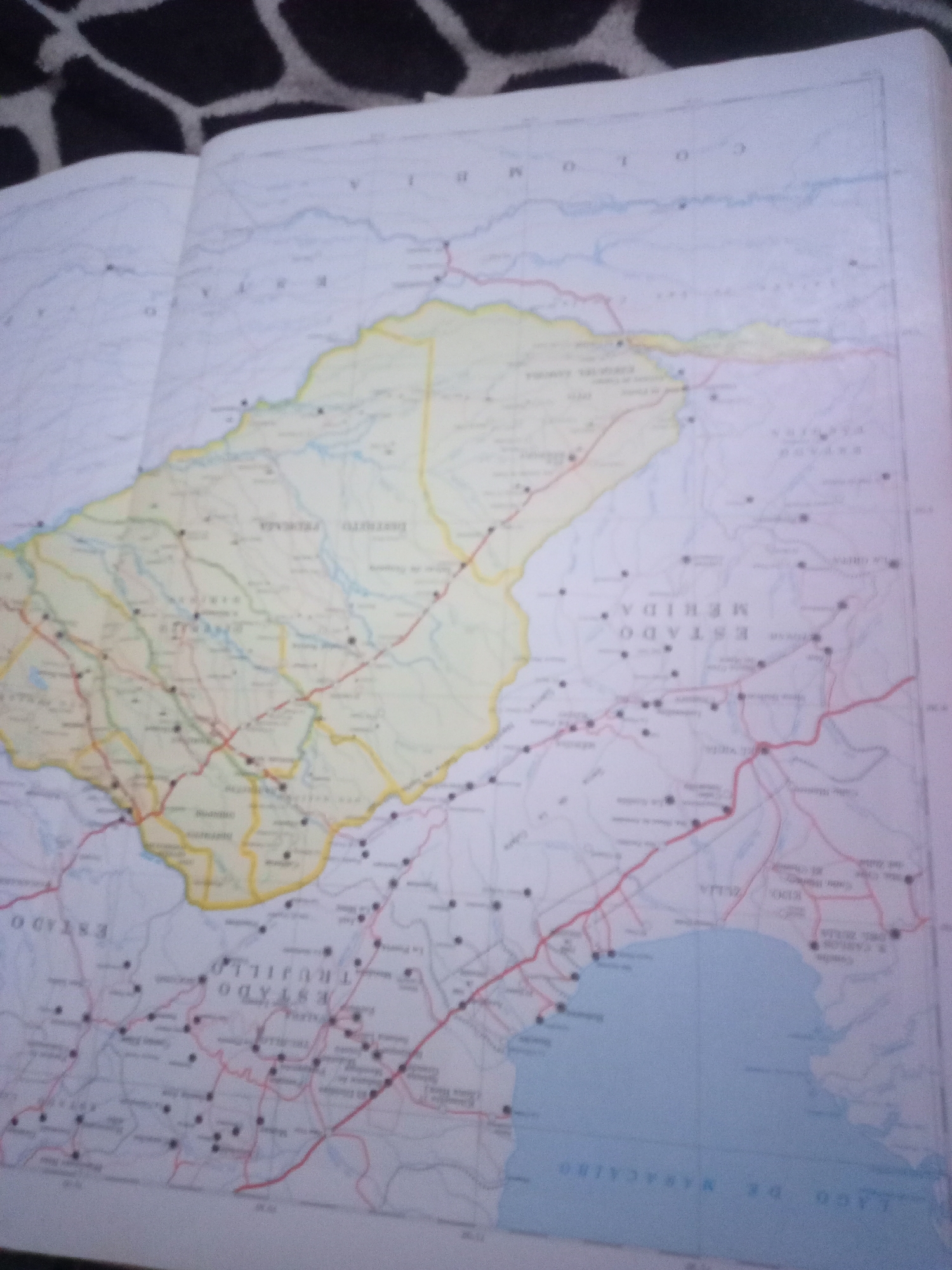
The image is a close-up, slightly angled shot of an open atlas displaying a map of Venezuela, specifically focusing on the region of Lago de Maracaibo and the surrounding states. The map features topographical details, political boundaries of states such as Estado Mérida and Estado Trujillo, and a network of roads and towns marked by dots and lines. A large body of water, identified as "Lago de Maracaibo" in text on the map, occupies the lower right portion of the image. The map also shows rivers, mountain ranges, and some place names written in Spanish. The atlas is placed on a surface covered with a dark, patterned fabric, possibly a blanket or upholstery. The lighting suggests an indoor environment. There are no people or discernible actions depicted in the image; it is a static representation of a geographical map. The city of Santa Ana, Venezuela, is not explicitly identified or highlighted on the visible portion of the map.
Symbol
63B78
Volume
0
Creator
+$0.03
Revenue
+$0.00
TVL
$0.00
Loading AttnAds…

2

Rev Bot 🤖💰
Injected revenue 3mo ago
“Revenue bonus for the last stake.”
+$0.06 USD