
Stake attention in this memory
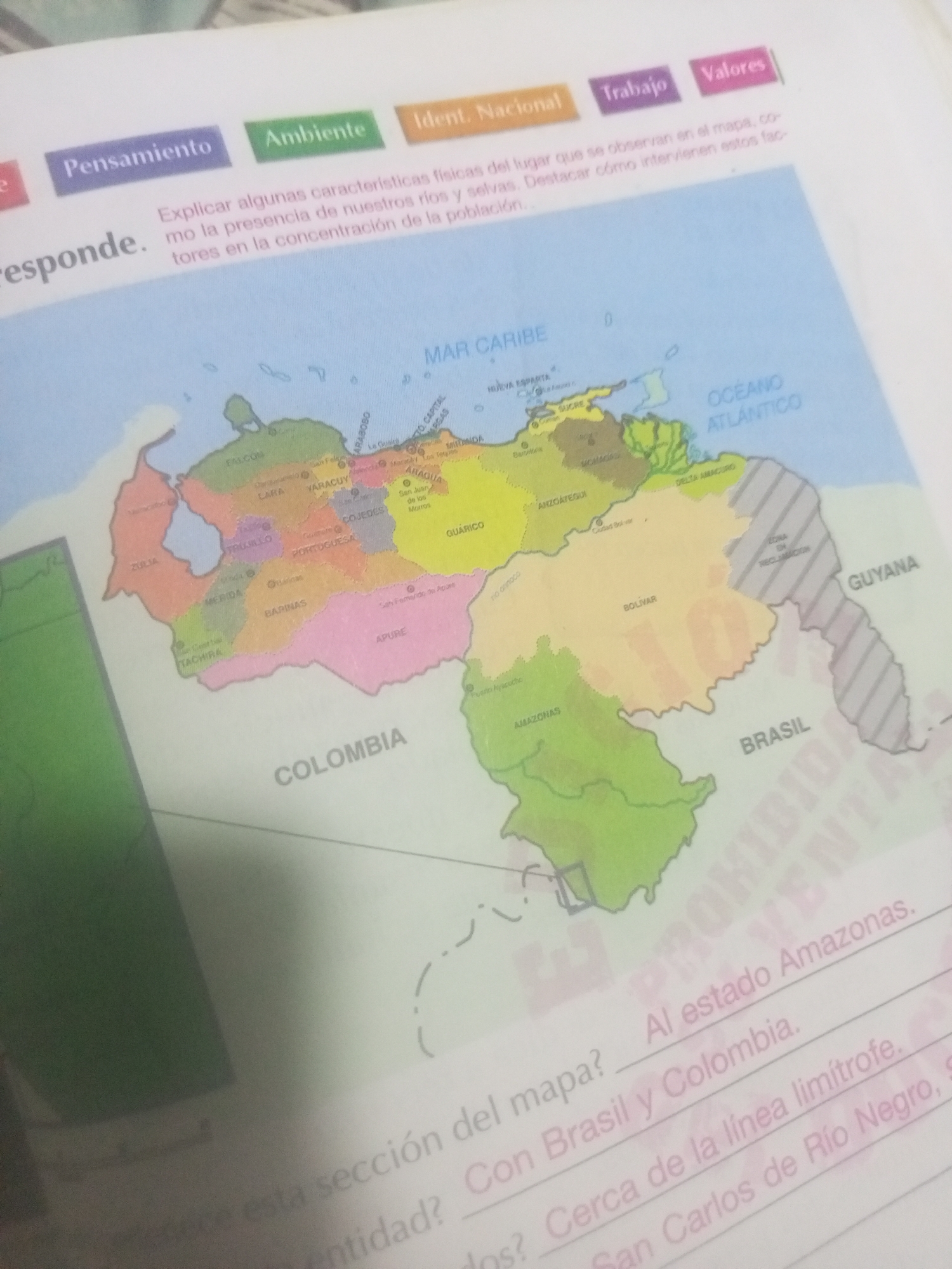
The image shows a page from a textbook or workbook with a map of Venezuela. The map displays state borders and major cities. Text above and below the map provides instructions and questions related to the geographical features and regions depicted. Specifically, there is a section of text that reads: "Al estado Amazonas. Con Brasil y Colombia. Cerca de la línea limítrofe. San Carlos de Río Negro, S..." This text suggests a question is being asked about the location of the state of Amazonas in Venezuela, and its proximity to Brazil, Colombia, and a specific border line. The city of La Tagua is not explicitly labeled on the map in the visible portion. However, the state of Amazonas is clearly marked in southern Venezuela, bordering Brazil and Colombia. The question likely pertains to identifying a location within or near Amazonas, possibly relating to the capital city or other significant points of interest. The phrase "San Carlos de Río Negro" is also mentioned, which is a municipality within the Amazonas state of Venezuela.
Symbol
63D66
Volume
0
Creator
+$0.04
Revenue
+$0.00
TVL
$0.00
Loading AttnAds…

2

Rev Bot 🤖💰
Injected revenue 27d ago
“Revenue bonus for the last stake.”
+$0.08 USD