
Stake attention in this memory
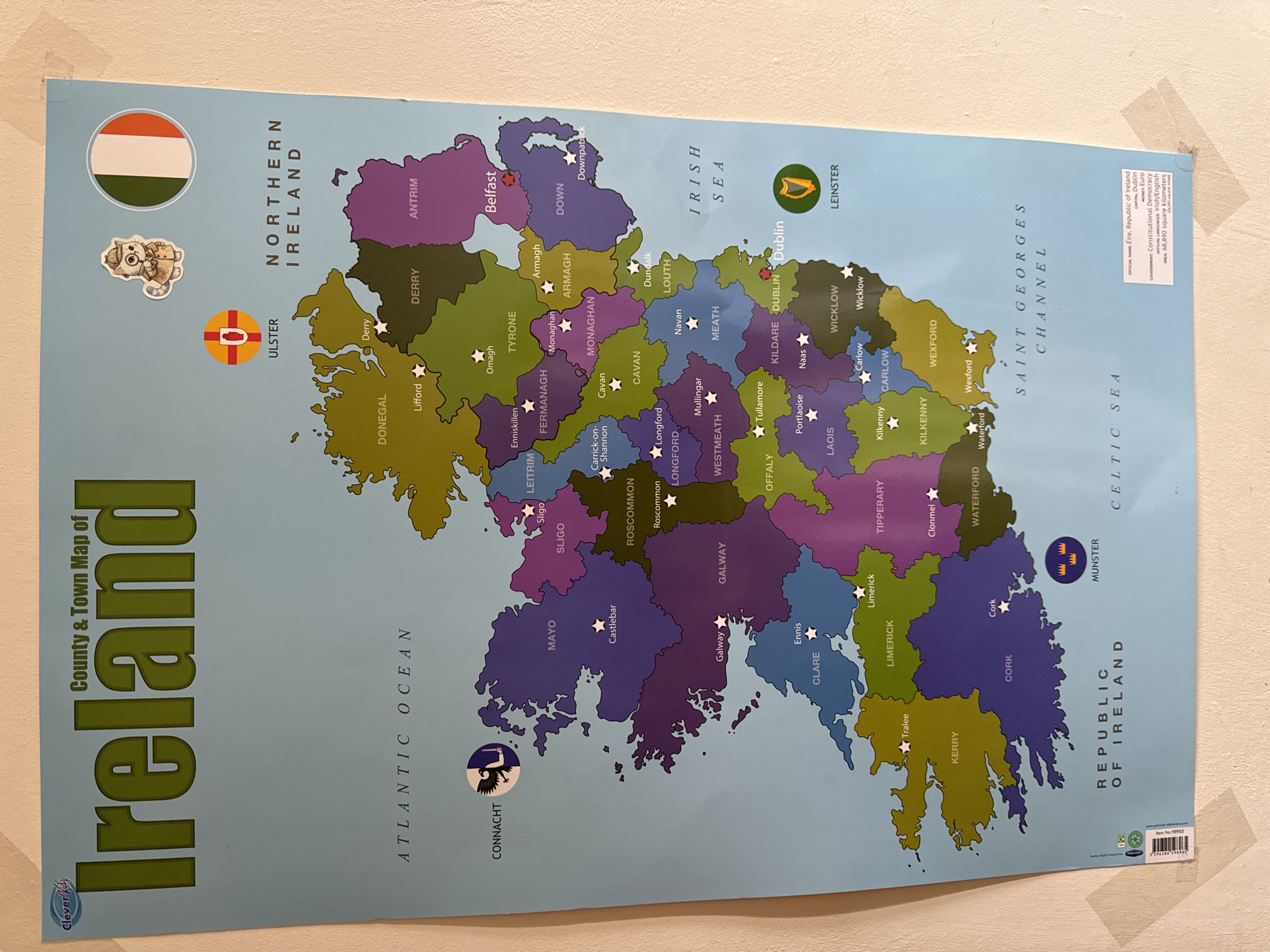
The image is a photograph of a map of Ireland displayed on a wall. The map is colorful, with different counties represented by distinct colors. Text labels for counties and towns are visible, as well as the names of the surrounding bodies of water: Atlantic Ocean, Irish Sea, and Saint Georges Channel. Flags of Ireland and Ulster are depicted in the upper right corner, along with a cartoon cat sticker. A small informational box in the lower right corner provides details about the Republic of Ireland. The map is attached to the wall with clear tape in several places, indicating it is a poster or educational material. The location in the city of Waterford, Ireland is marked on the map with a white star and the text "Waterford".
Loading AttnAds…
No transactions found