Stake attention in this memory
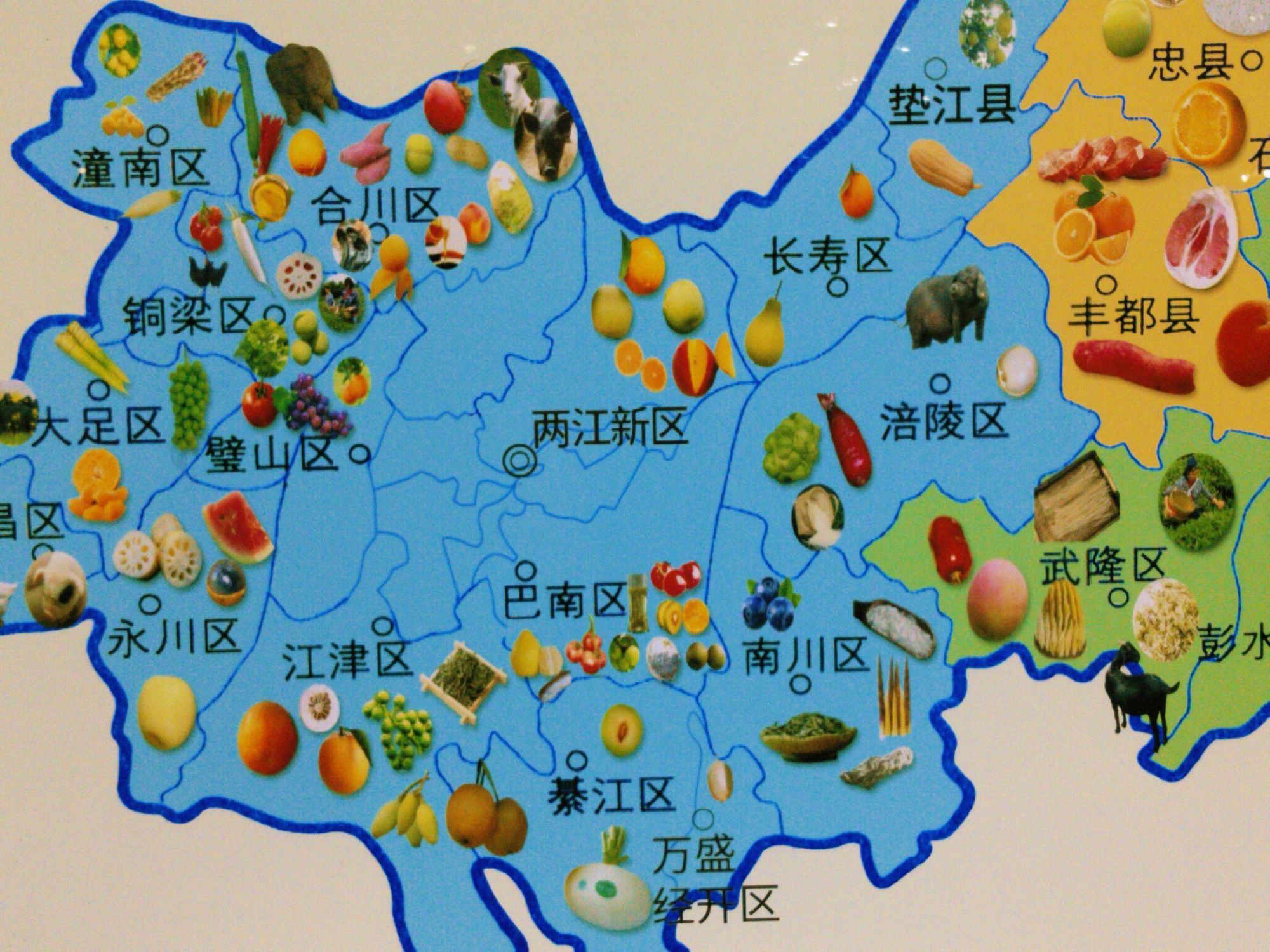
The image is a map of a region in China, likely Chongqing, highlighting local agricultural products of various districts and counties. The map is blue, indicating the region's boundaries, with different counties and districts labeled. Each district or county is adorned with images of local crops, fruits, vegetables, and even livestock. District names are visible, such as "潼南区," "合川区," "铜梁区," "璧山区," "永川区," "江津区," "巴南区," "綦江区," "南川区," "万盛经开区," "武隆区," "彭水," "垫江县," "长寿区," "涪陵区," "丰都县," and "忠县". The crops and livestock represented include citrus fruits, various vegetables, grains, and farm animals. The location of the city of Yuzhong District, China, is not explicitly marked on this map.
Symbol
6505C
Volume
0
Creator
+$0.02
Revenue
+$0.00
TVL
$0.00
Loading AttnAds…

2

Rev Bot 🤖💰
Injected revenue 3mo ago
“Revenue bonus for the last stake.”
+$0.03 USD