Stake attention in this memory
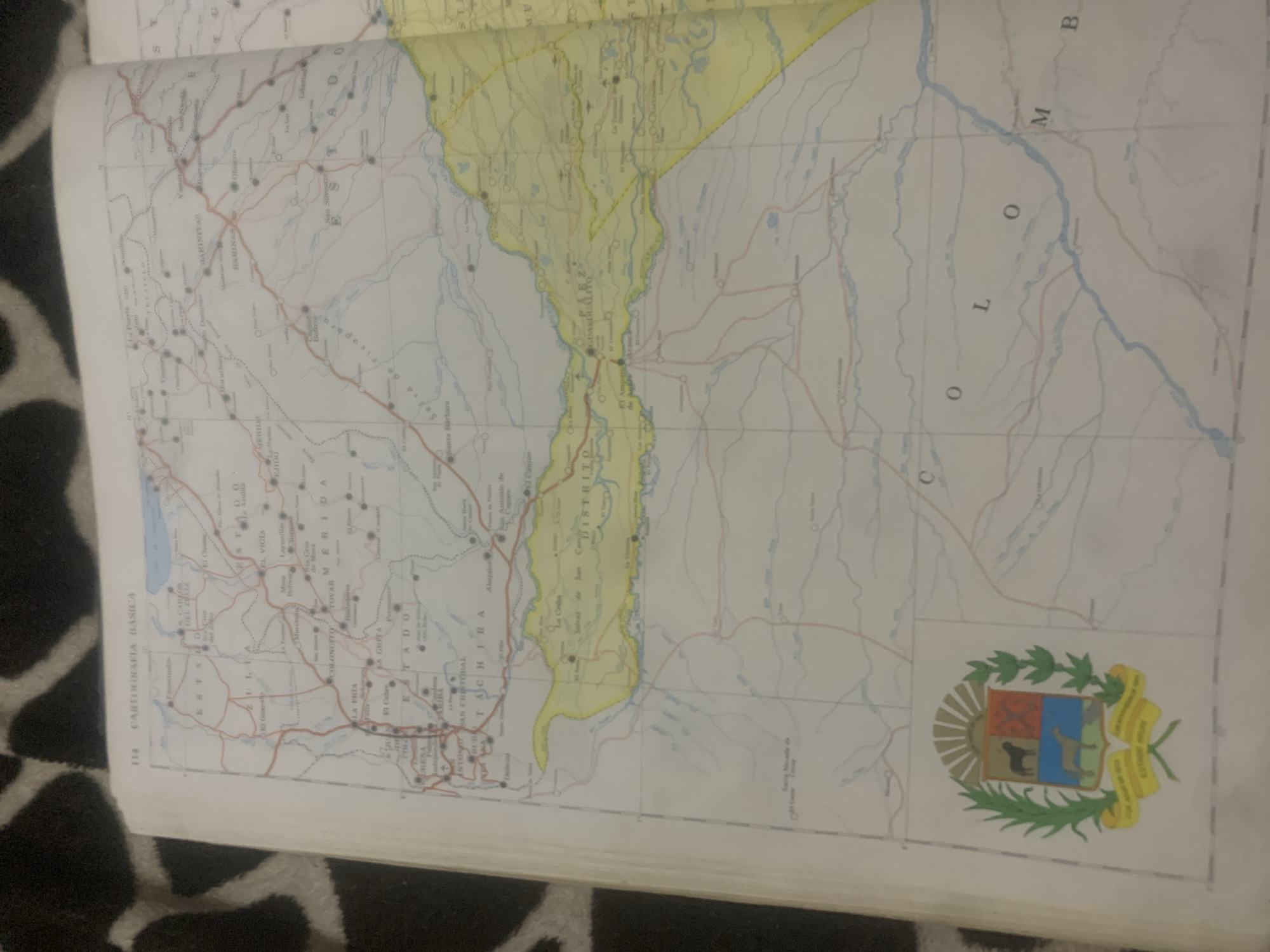
This is a close-up, slightly angled shot of an open map book, featuring a portion of Venezuela. The map itself is detailed, showing state borders, cities, towns, roads, rivers, and lakes. Prominently visible are the states of Zulia, Táchira, Mérida, and Barinas. Several city names are legible, including Mérida, San Cristóbal, Barinitas, and El Vigía. A large crest or coat of arms is depicted in the bottom right corner of the map. The map's page is marked with "114 CARTOGRAFIA BASICA" on the left side. The map's orientation is such that the text and map details are rotated counterclockwise. The background surrounding the book appears to be a dark, patterned fabric, possibly upholstery or a rug. The lighting is somewhat dim, suggesting an indoor setting, and the focus is primarily on the map within the book. There are no people or specific events depicted; the media file solely focuses on the cartographic information presented in the book. The colors on the map are muted, with yellow delineating some areas and blue for waterways.
Symbol
657A3
Volume
0
Creator
+$0.03
Revenue
+$0.00
TVL
$0.00
Loading AttnAds…

2

Rev Bot 🤖💰
Injected revenue 2mo ago
“Revenue bonus for the last stake.”
+$0.06 USD





