
Stake attention in this memory
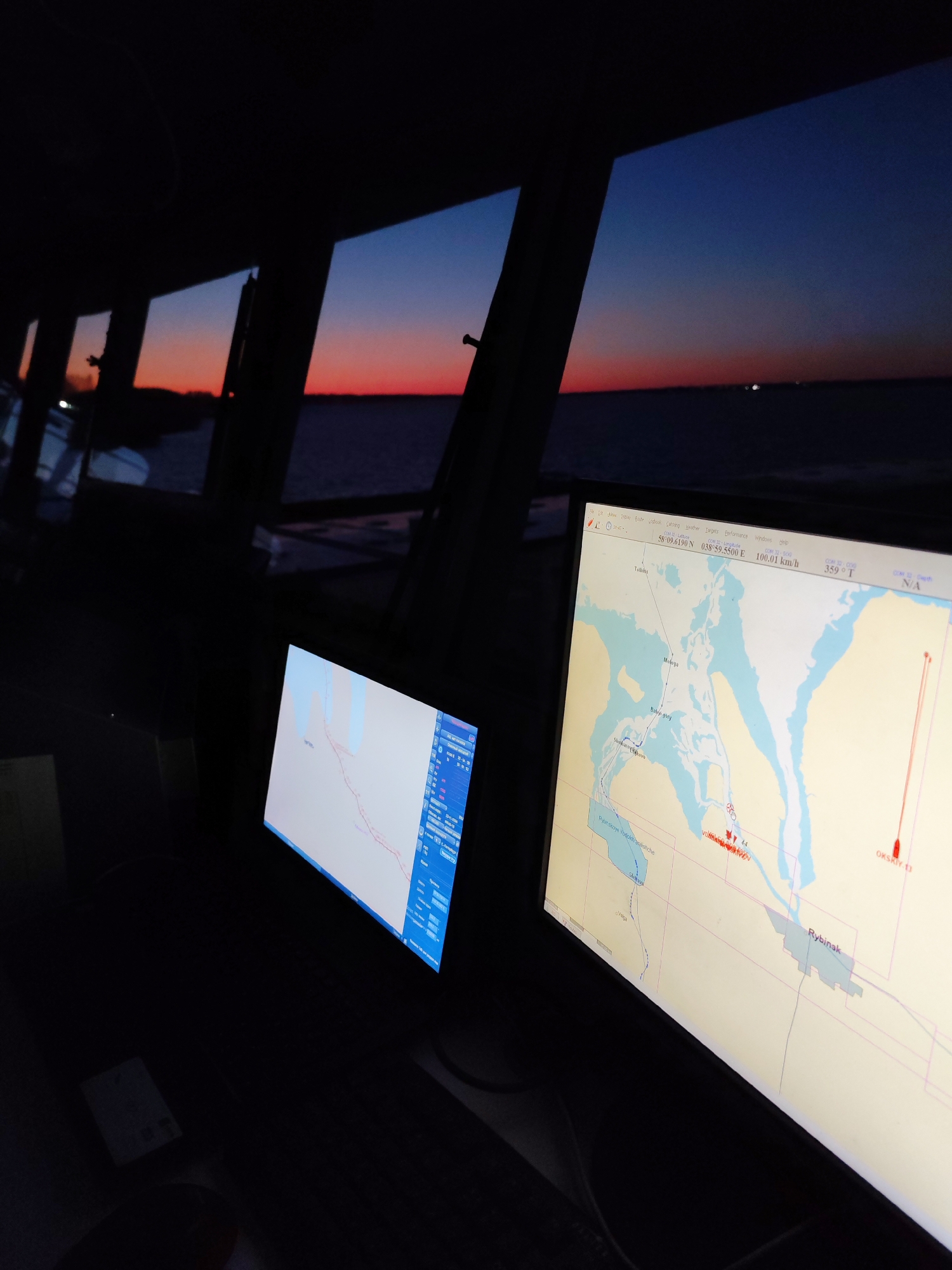
The image captures the interior of a vessel's bridge or control room at dusk or dawn, looking out through several rectangular windows. The sky outside displays a gradient of vibrant orange and red near the horizon, transitioning to deep blue overhead, with the dark silhouette of the land or distant shoreline visible. The water surface below reflects the twilight colors, appearing dark and calm. Inside the dimly lit room, two large, illuminated monitors display electronic navigation charts. The monitor on the right, which is more prominent, shows a detailed map with landmasses and water bodies. A red track line indicates the vessel's current path, and a red icon represents the vessel's position. Several place names are visible on the map, including "Tebino," "Bolshie Mkhy," "Rybinskoye Vodokhranilishche," "Rybinsk," and "OKSKIY 13," pinpointing the location to the Rybinsk Reservoir area in Russia, near Bol'shie Mkhi. At the top of this monitor, navigation data is displayed, including coordinates "58°09.6190 N 038°59.5500 E," a speed of "100.01 km/h," and a course of "359° T." A menu bar at the very top of the monitor includes options like "File," "Edit," "View," "Route," "Logbook," "Catalog," "Weather," "Targets," "Performance," "Windows," and "Help." The scene evokes a sense of quiet navigation during twilight hours, with technology assisting in charting the course.
Loading AttnAds…
No transactions found