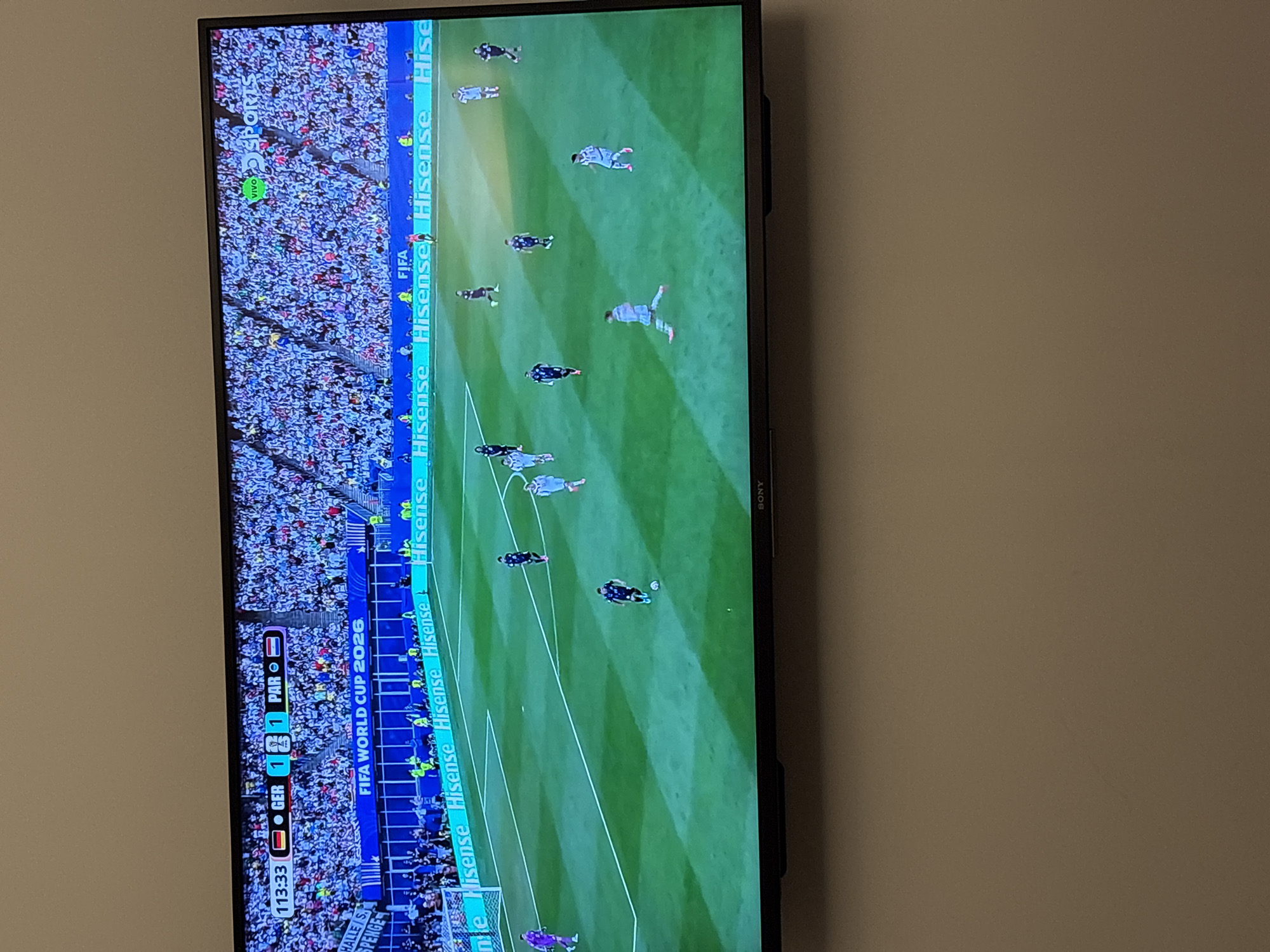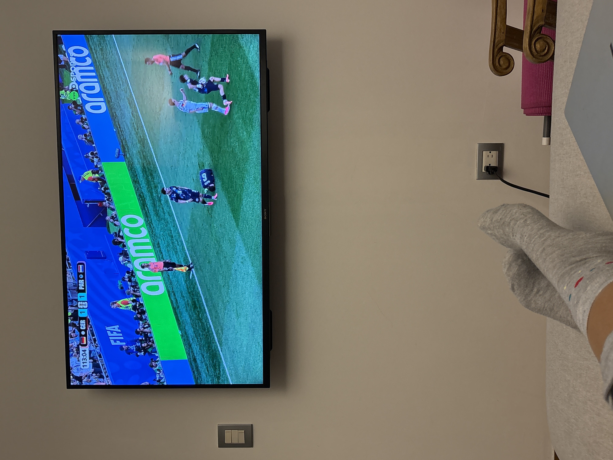
Stake attention in this memory
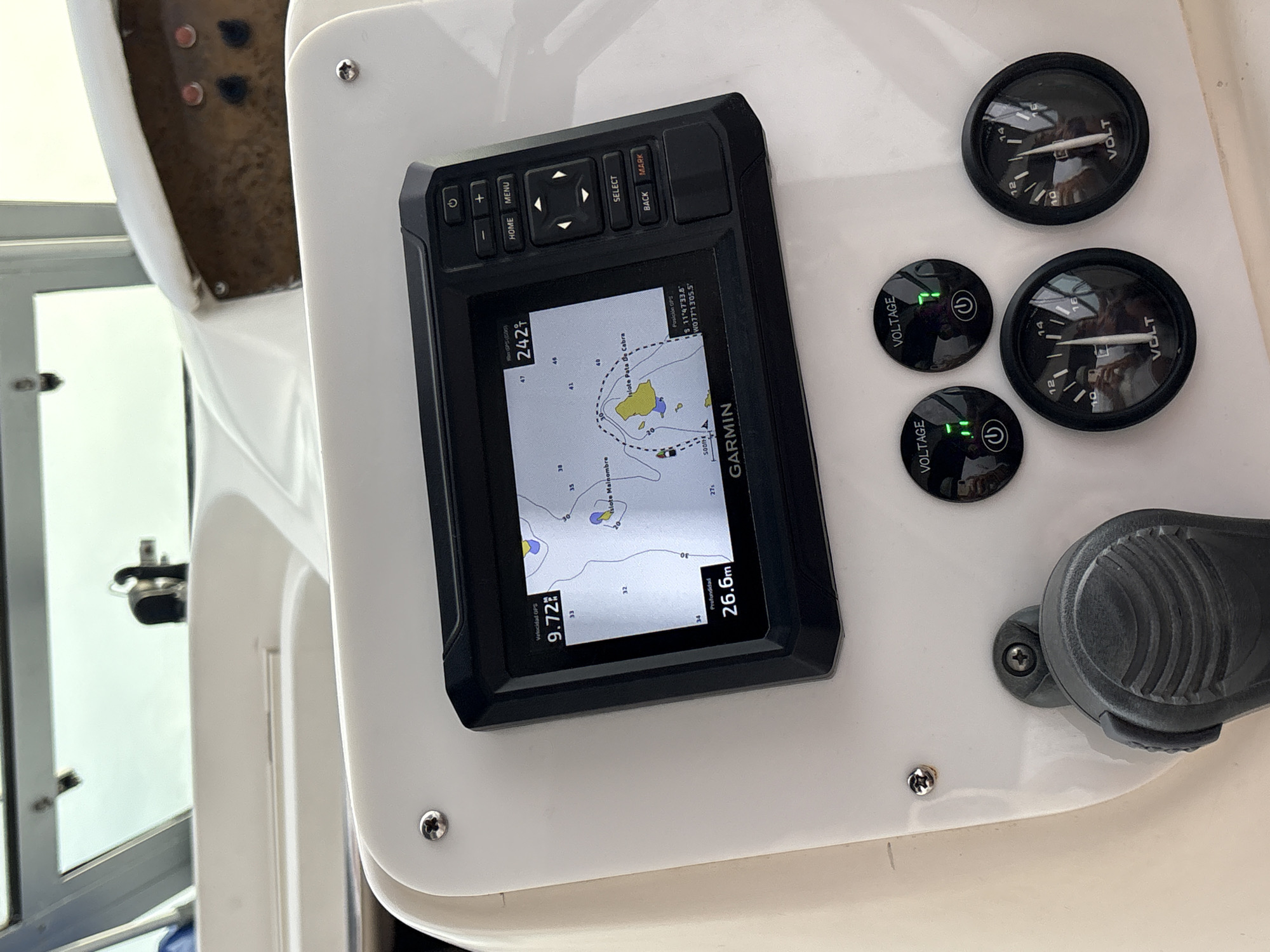
The image displays a boat's helm station, centered on a Garmin marine multifunction display. The screen presents navigational data: GPS speed of 9.72 units, a depth of 26.6 meters, and a course heading of 242 degrees. The electronic chart on the display indicates features such as "Islote Mainombre" and "Islote Pata de Cabra." The reported GPS position is S 11°47'33.8" W077°13'05.5", placing the vessel in the offshore waters of Ancón, Peru. Below the Garmin unit, two illuminated digital voltage meters are visible, displaying "1" and "7" respectively. Adjacent to these are two analog voltmeters, both indicating approximately 14 volts. A black marine throttle/shift control is partially visible in the lower left foreground. The background shows the boat's windshield with a bright, uniform sky beyond. Reflections of a person and a camera are present on the instrument screens and gauges.
No transactions found