Stake attention in this memory
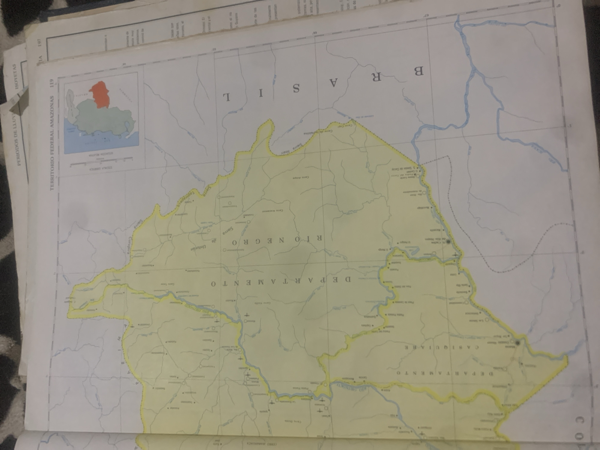
The image is a photograph of an open atlas or map book. The main focus is a detailed map of the "TERRITORIO FEDERAL AMAZONAS". The map displays geographical features such as rivers, lakes, mountains, and settlements. The territory is outlined in yellow. Text in Spanish labels various locations, including "DEPARTAMENTO CASIQUIARE" and "RIO NEGRO". There is also a smaller inset map showing the Federal Territory of Amazonas within a larger context, with Venezuela highlighted. On the right side of the page, there is text in Spanish, likely descriptive information related to the map. The overall impression is that of a geographical reference document. There are no people, subjects, or actions depicted in the image. The "city of La Tagua, Venezuela" is not explicitly visible or mentioned on the portion of the map that is in focus.
Symbol
6773C
Volume
0
Creator
+$0.03
Revenue
+$0.00
TVL
$0.00
Loading AttnAds…

2

Rev Bot 🤖💰
Injected revenue 2mo ago
“Revenue bonus for the last stake.”
+$0.07 USD





